SoNic ITT

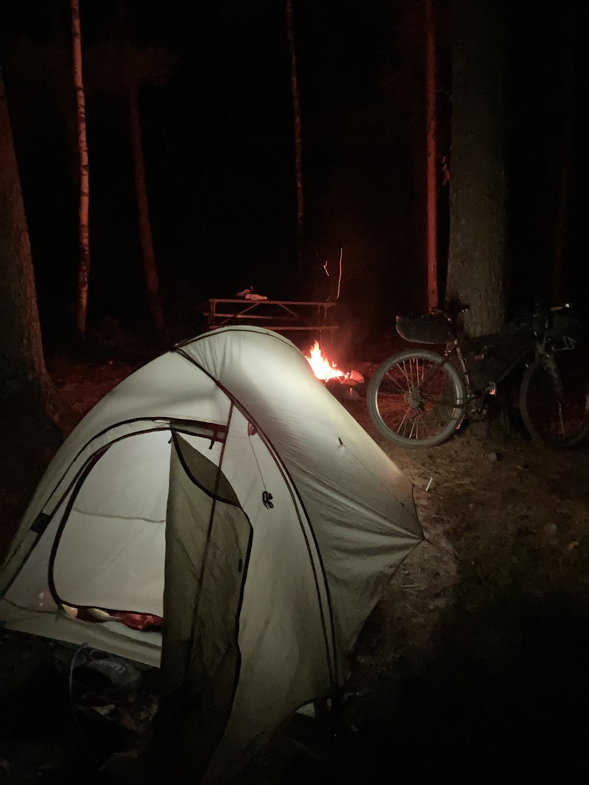
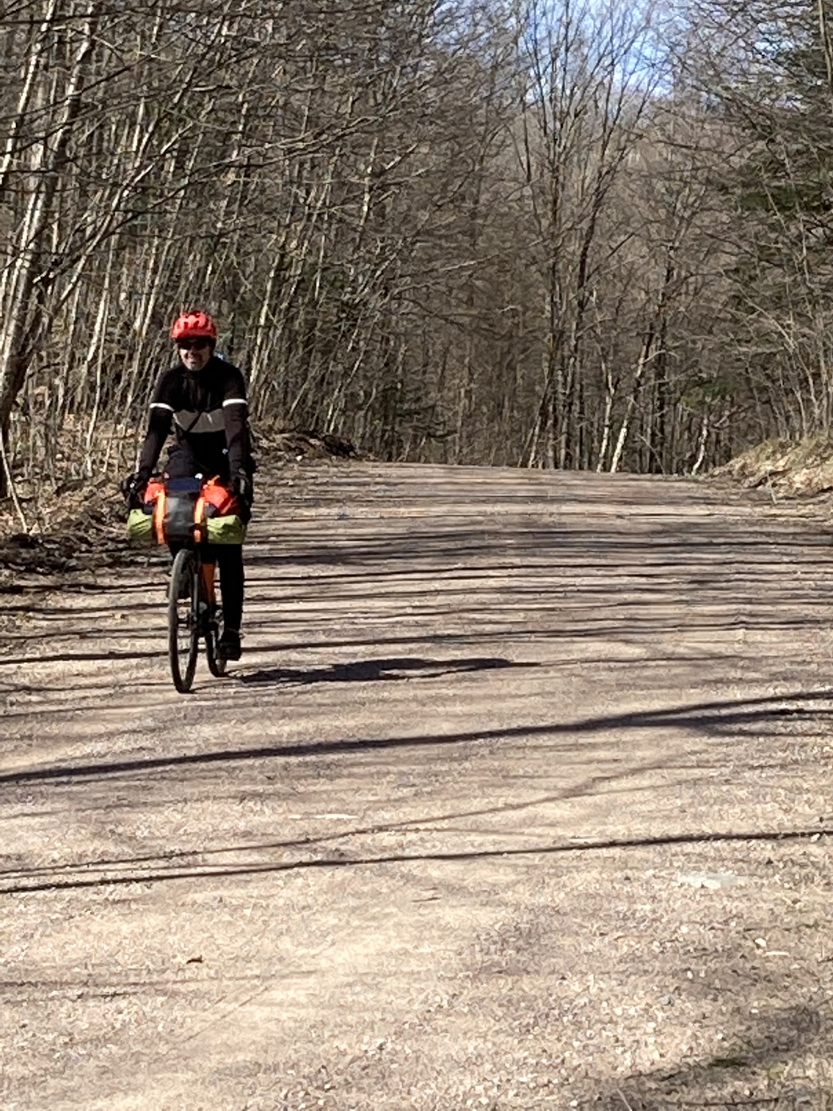
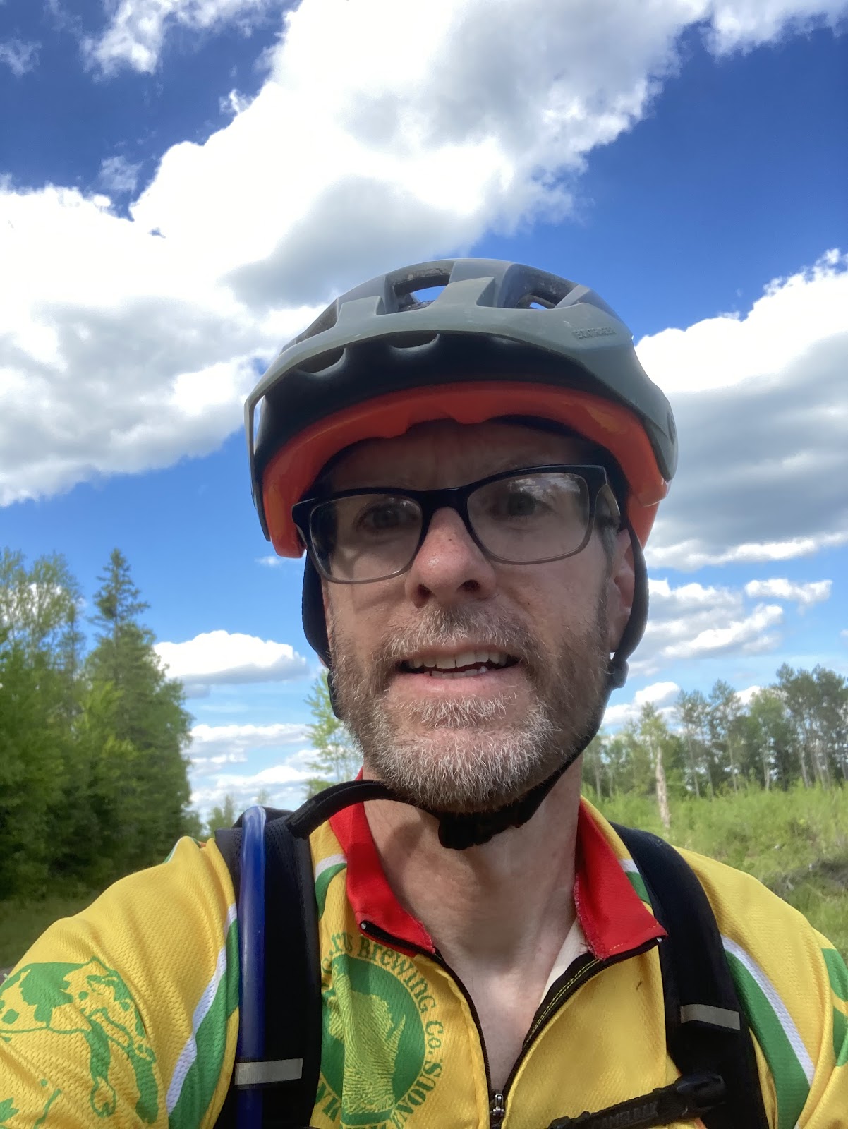
Setting up the Midwest Bikepacking Summit year one is a huge undertaking. There were many aspects that came to me along the way. One of those being setting FKT’s on the two routes, the SoNic and the Tour de Nicolet. Knowing these routes like the back of my hand made planning these attempts the easy part. Where the food stops are, where to find water, where to camp, which sections to prepare for mentally, those types of things. I chose the SoNic as my first route to take on. The hard part for me was mentally preparing to ride it through the night. Taking no sleep kit was my commitment to riding through the night. 

Planning and Bike Setup

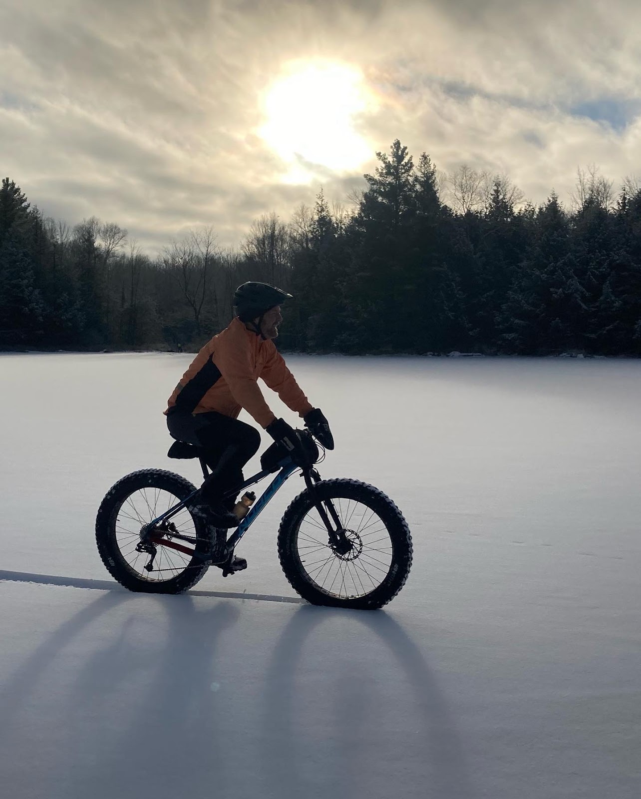
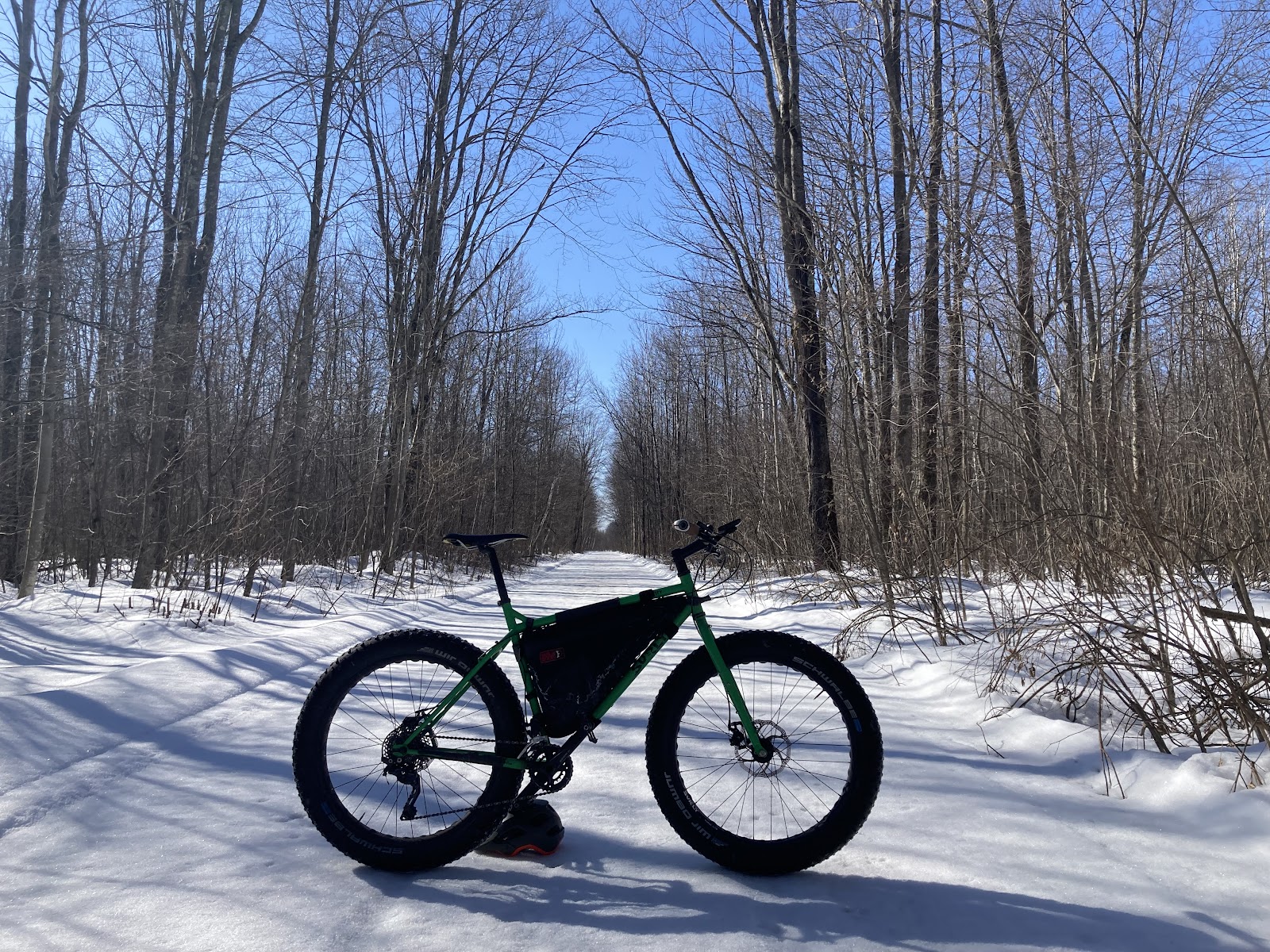
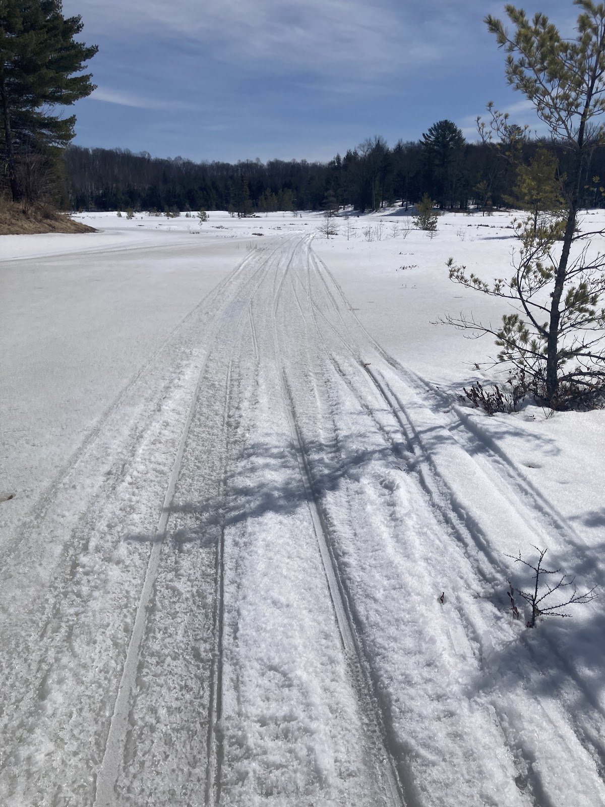
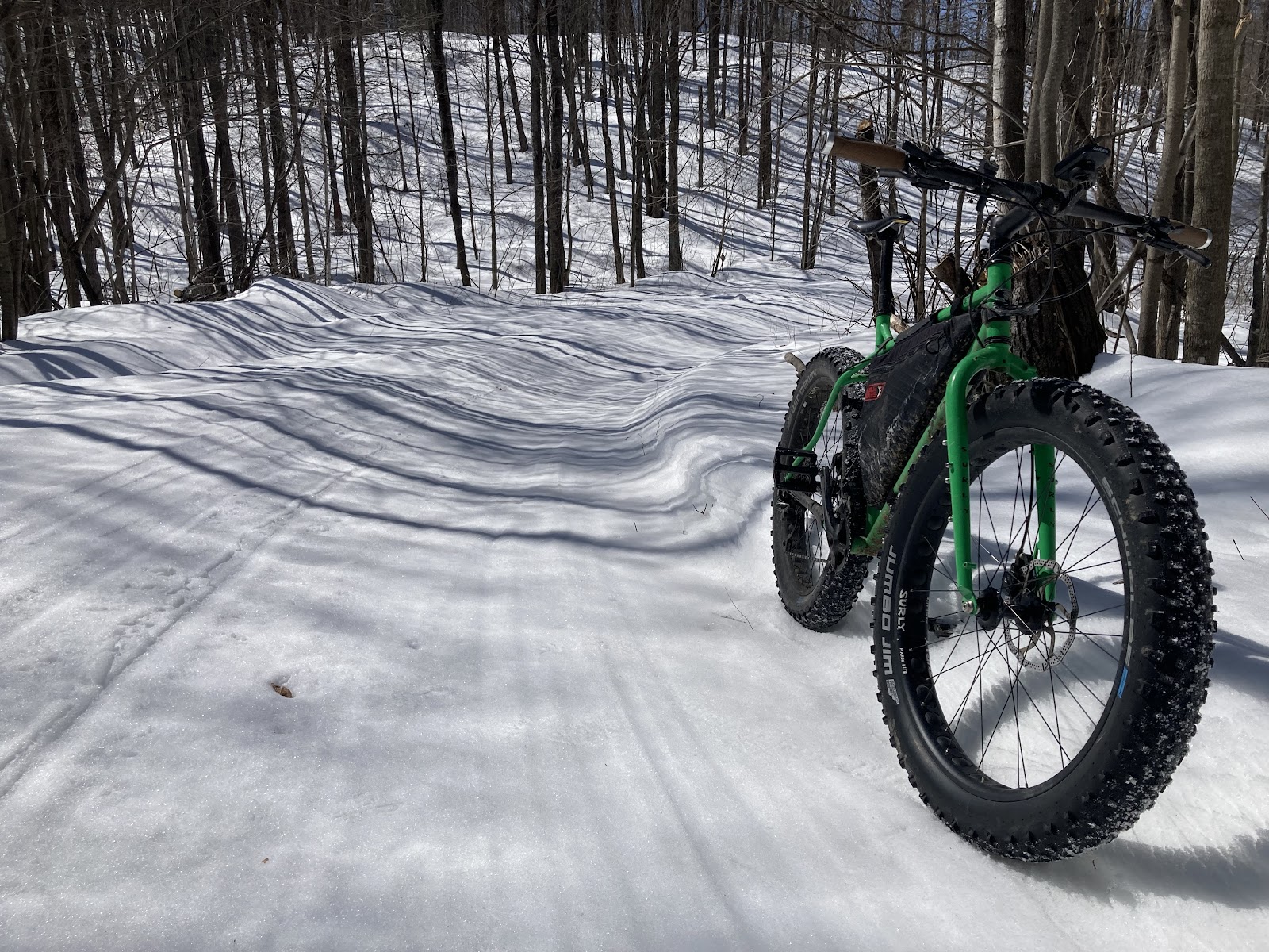
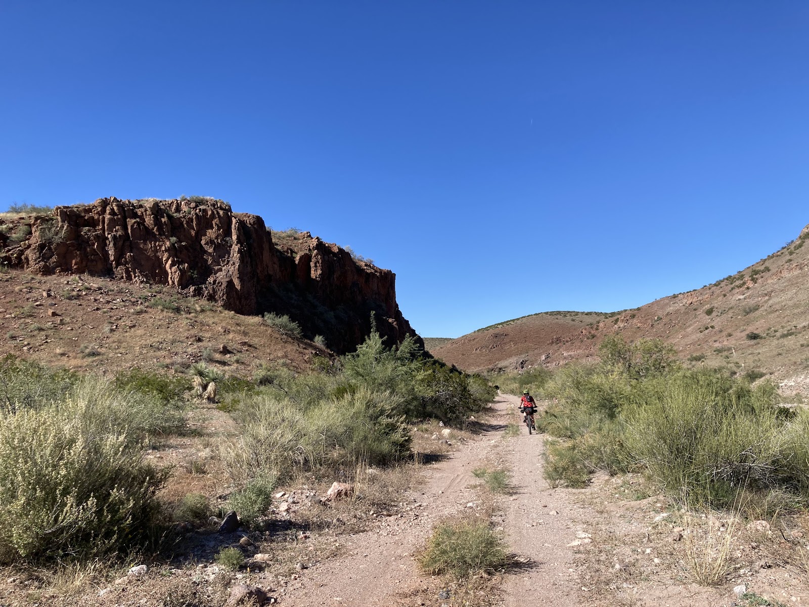
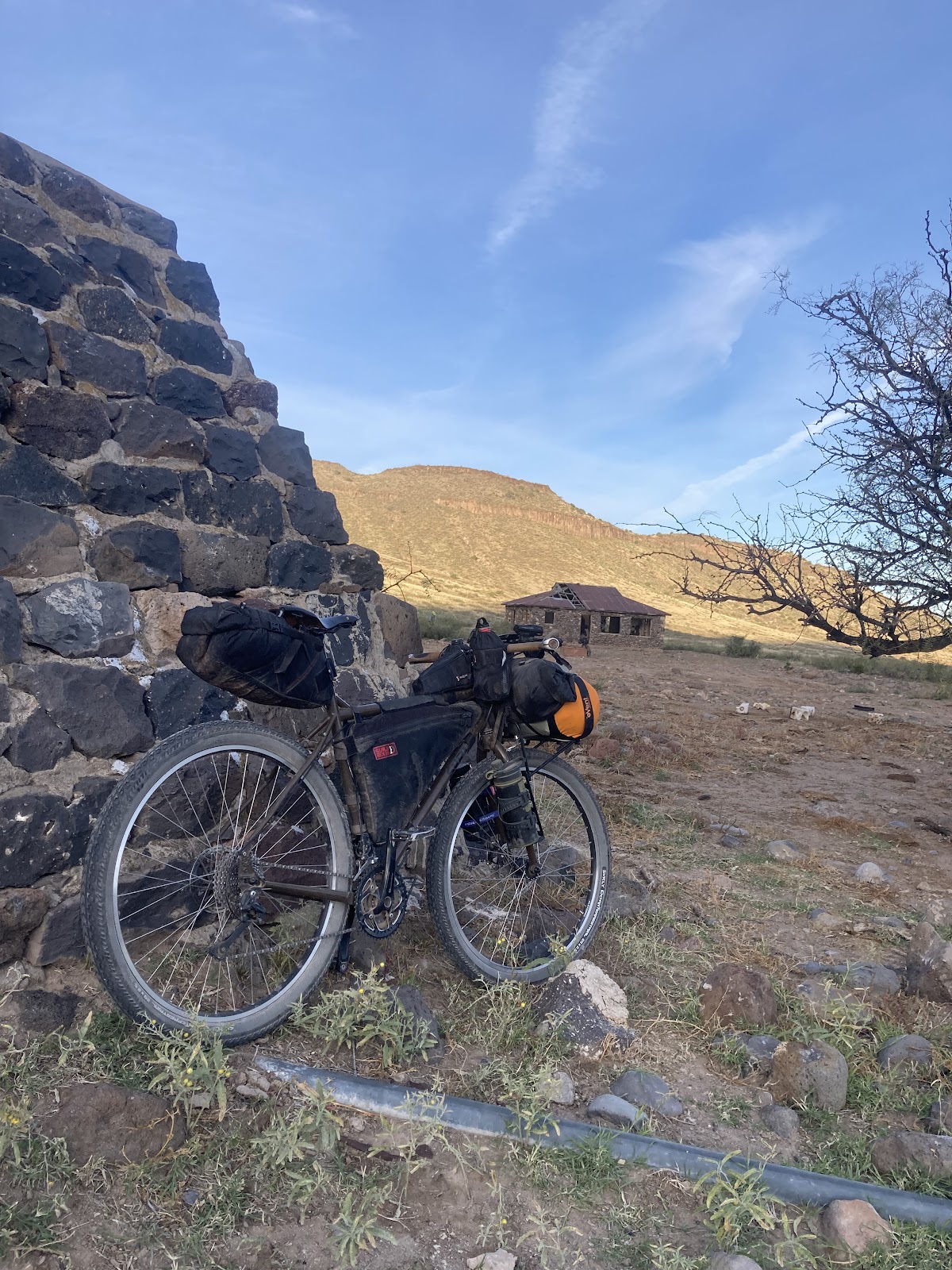
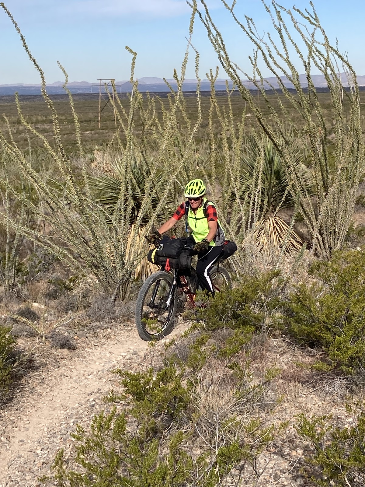
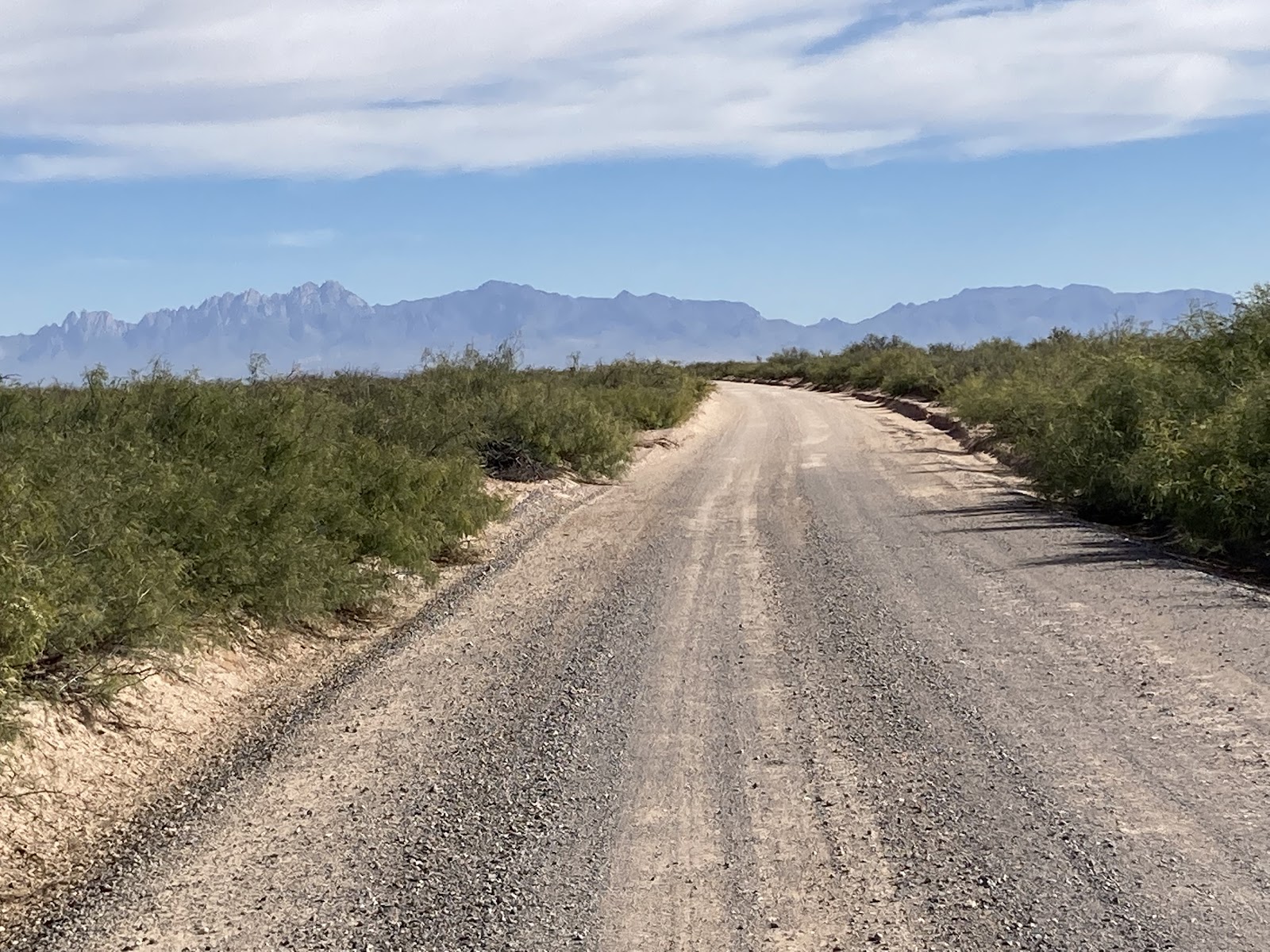
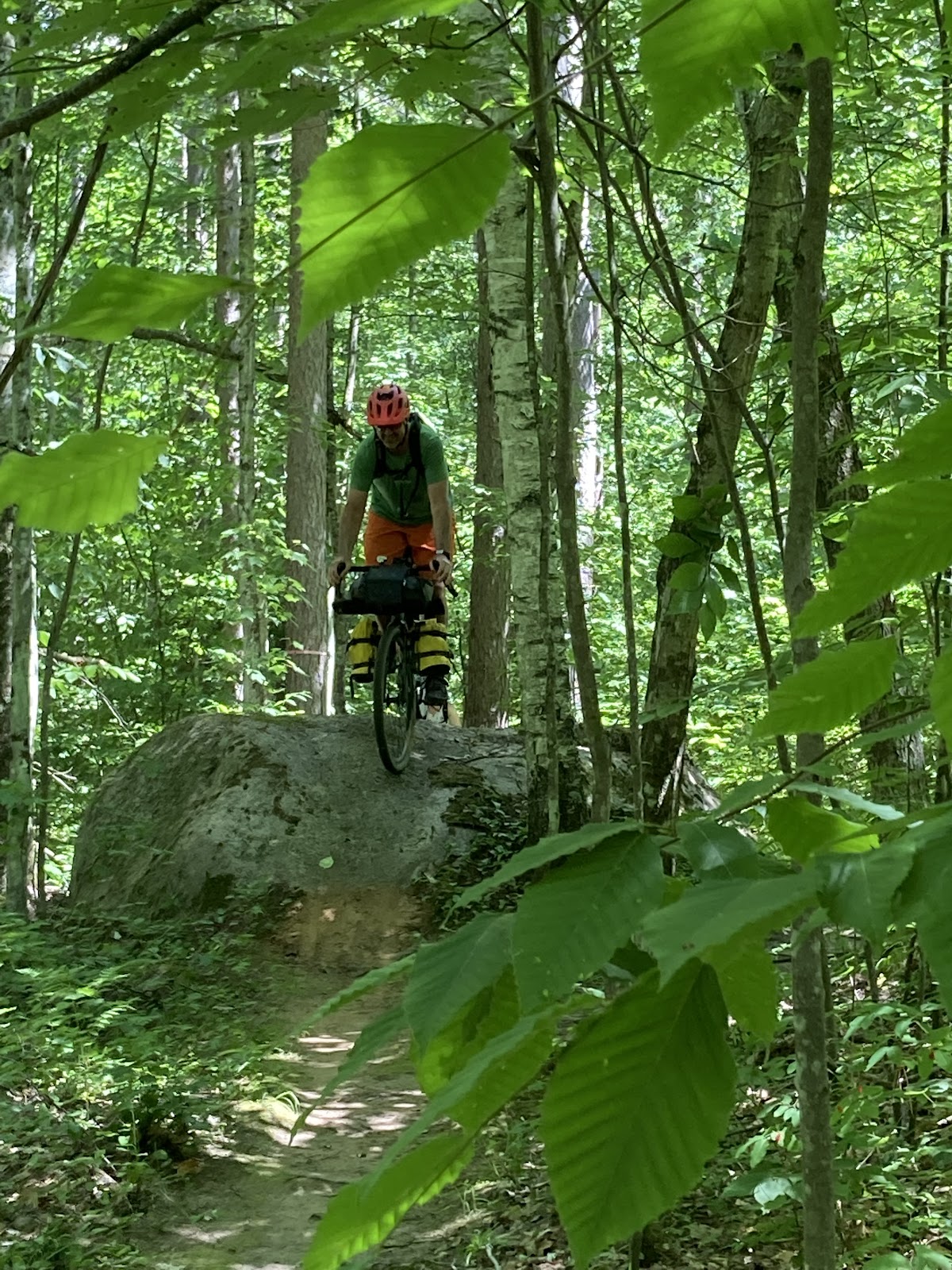
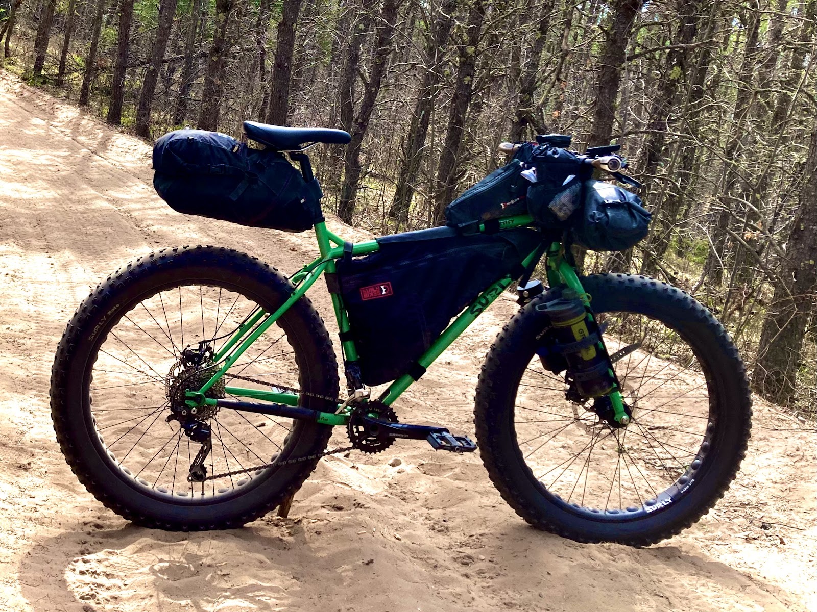
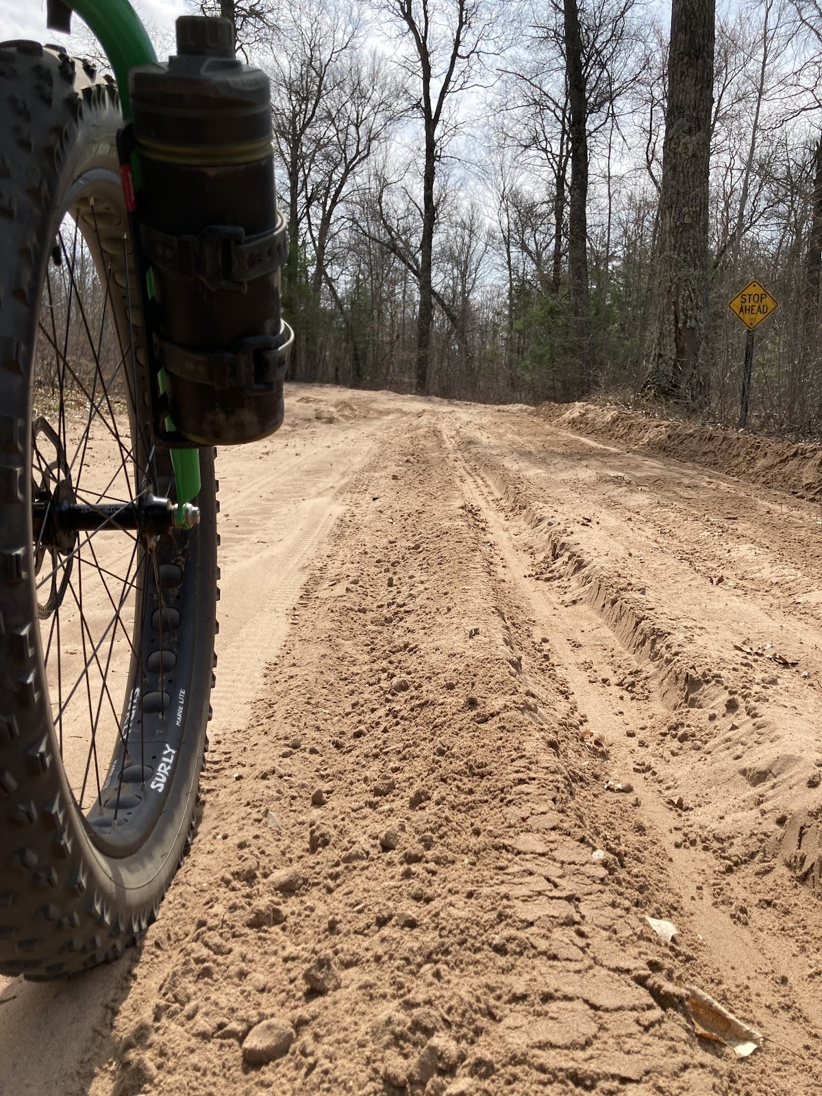
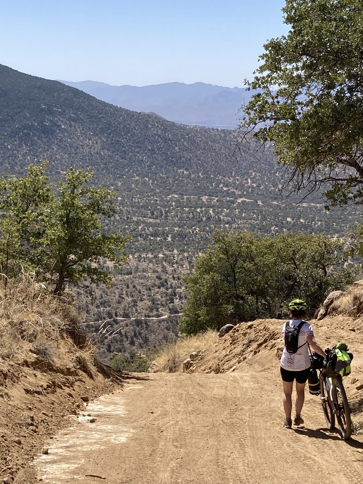
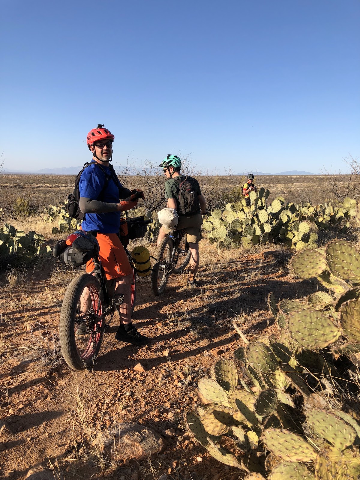
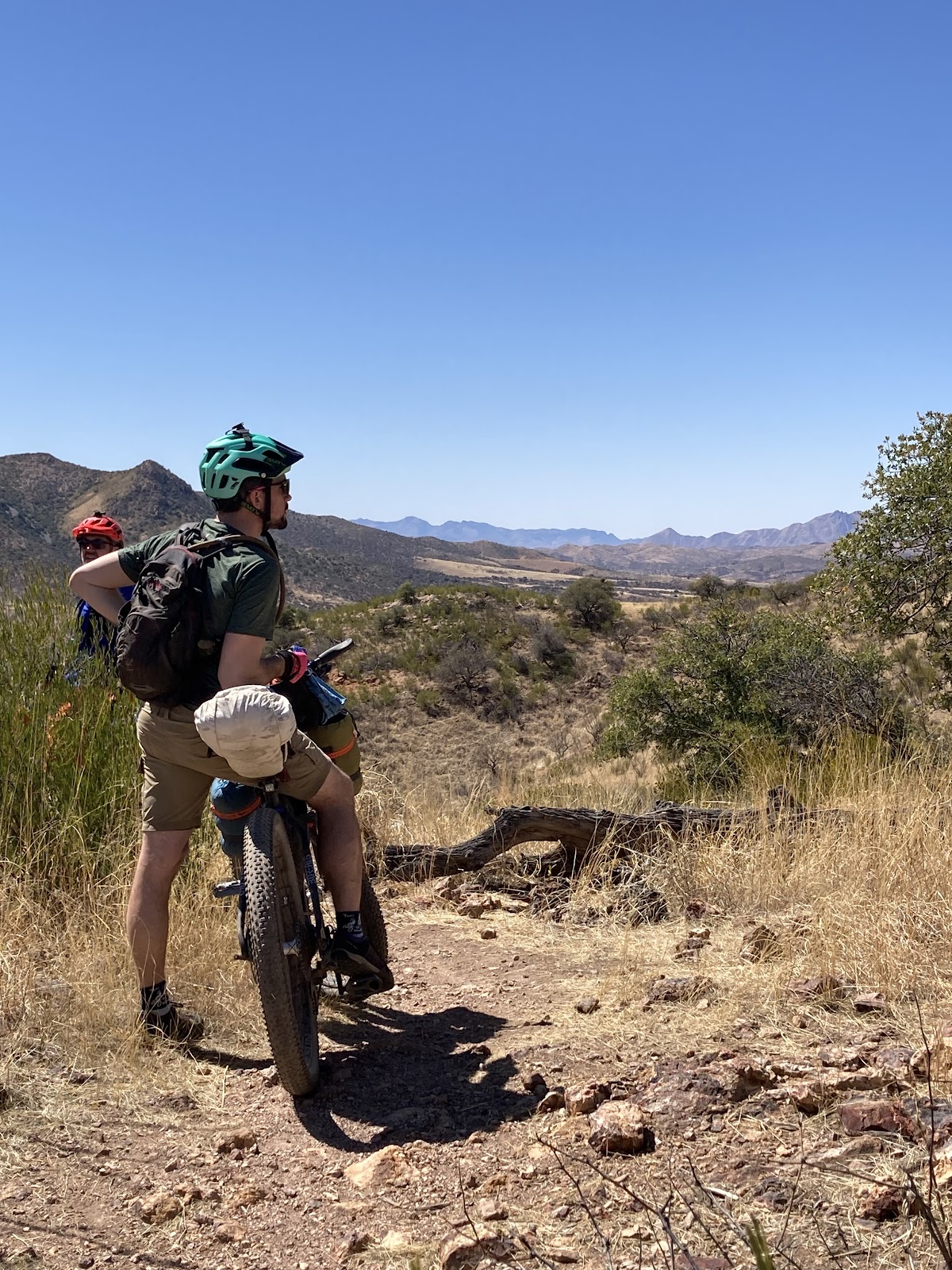
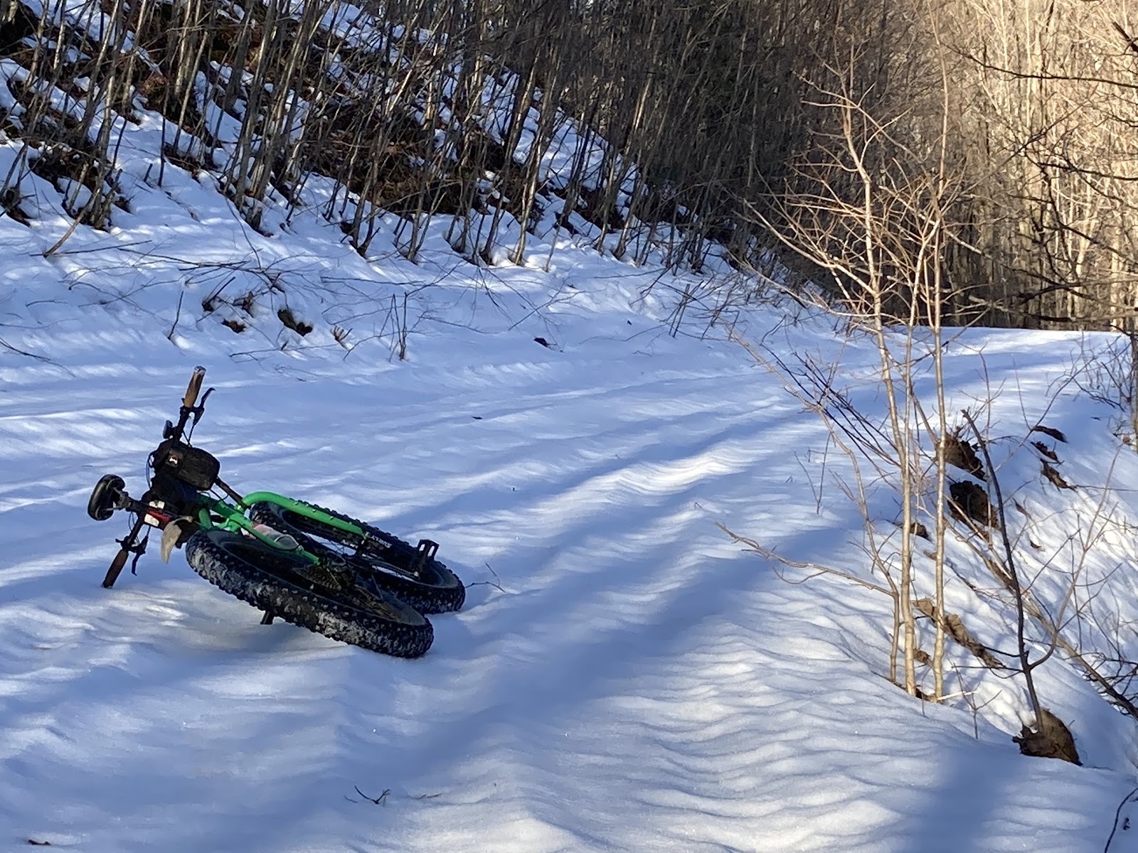
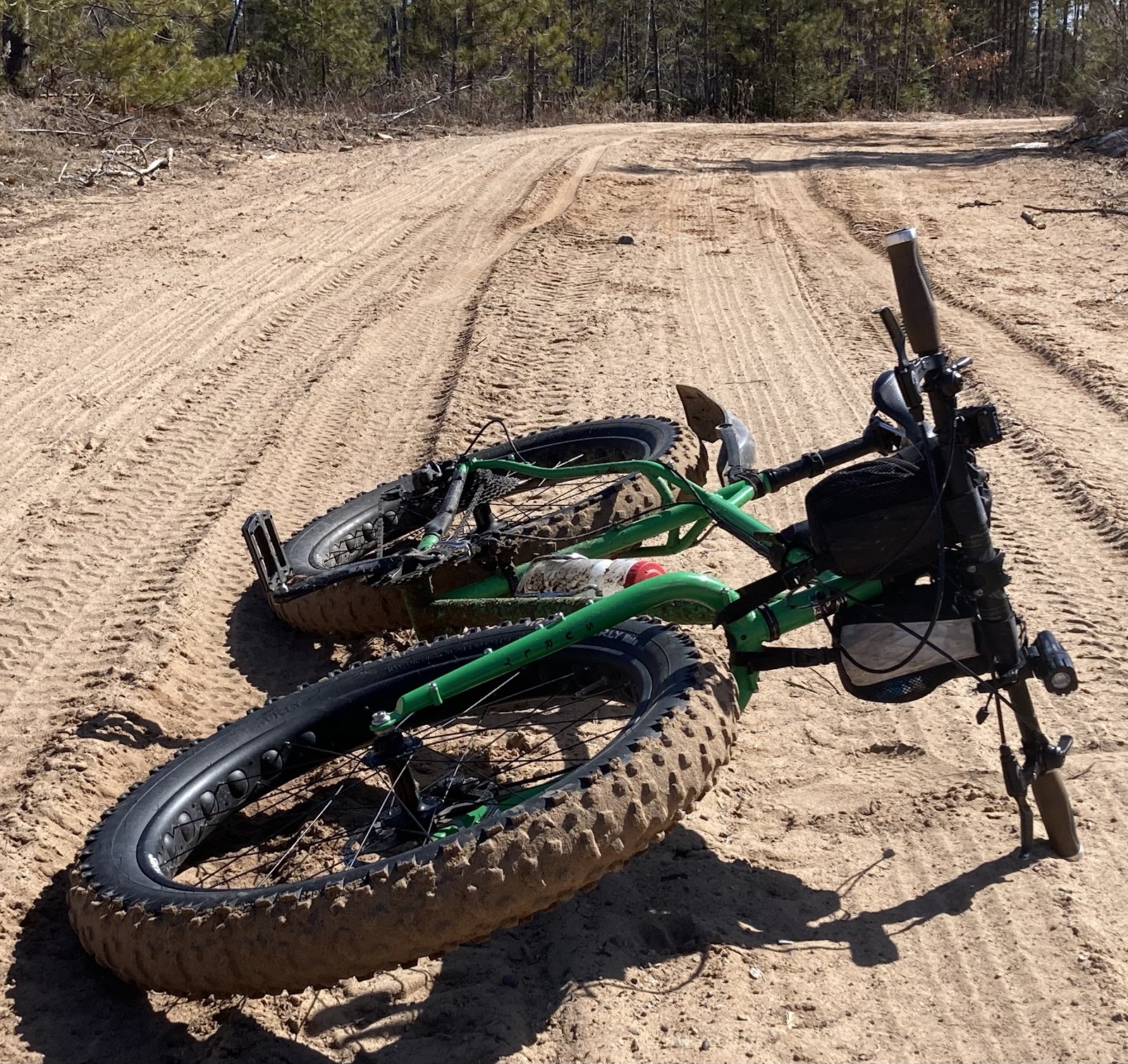
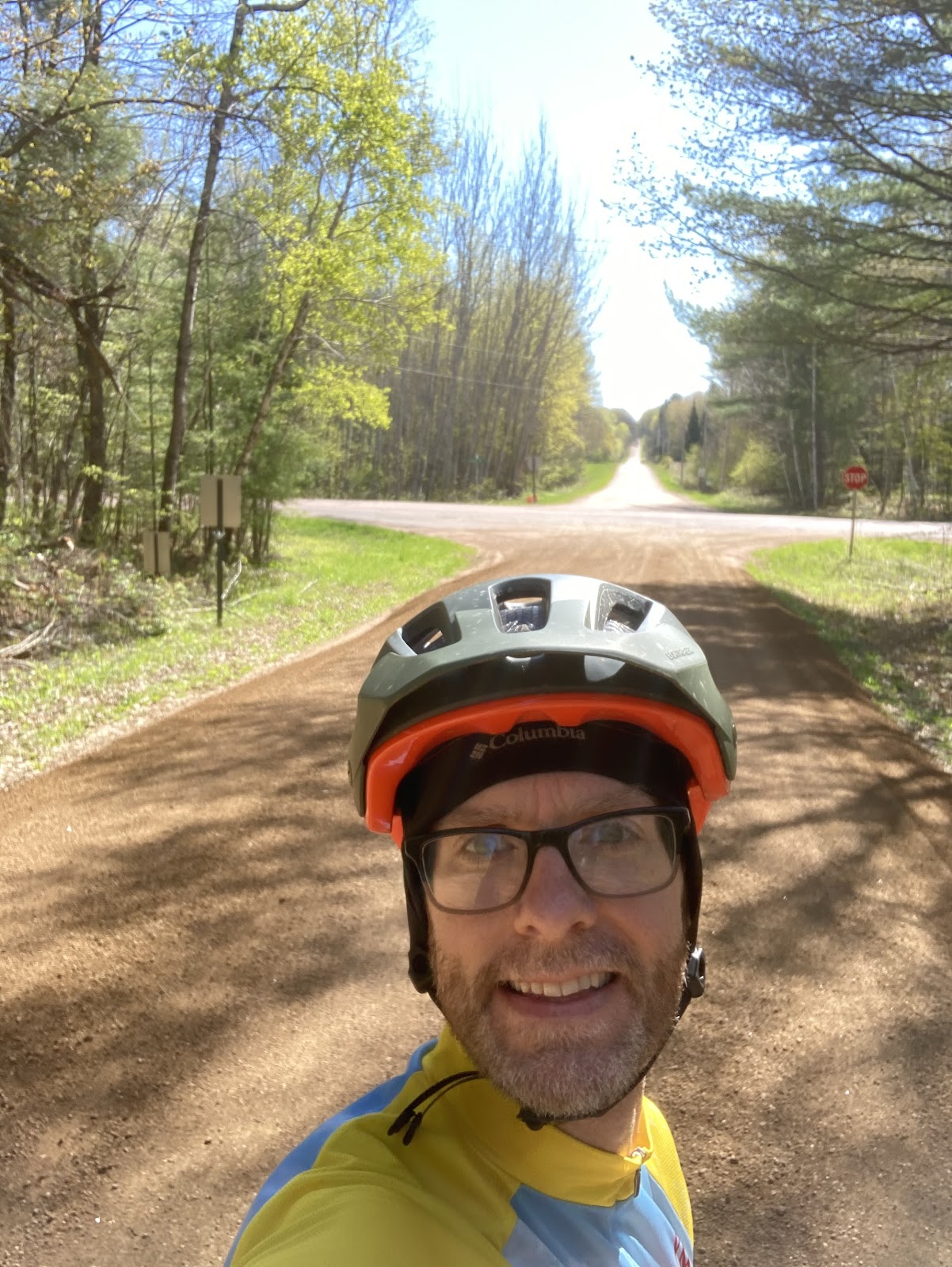
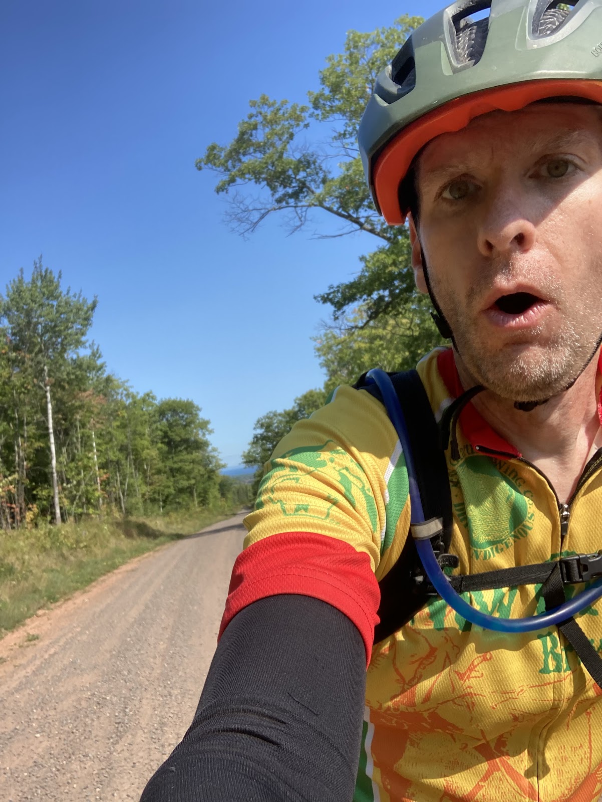
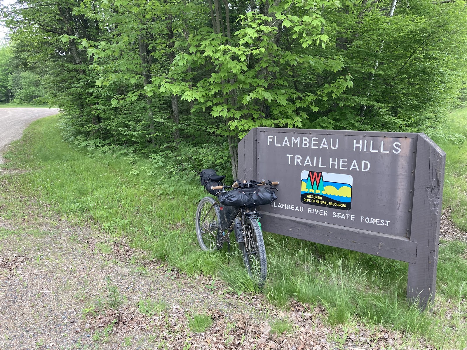
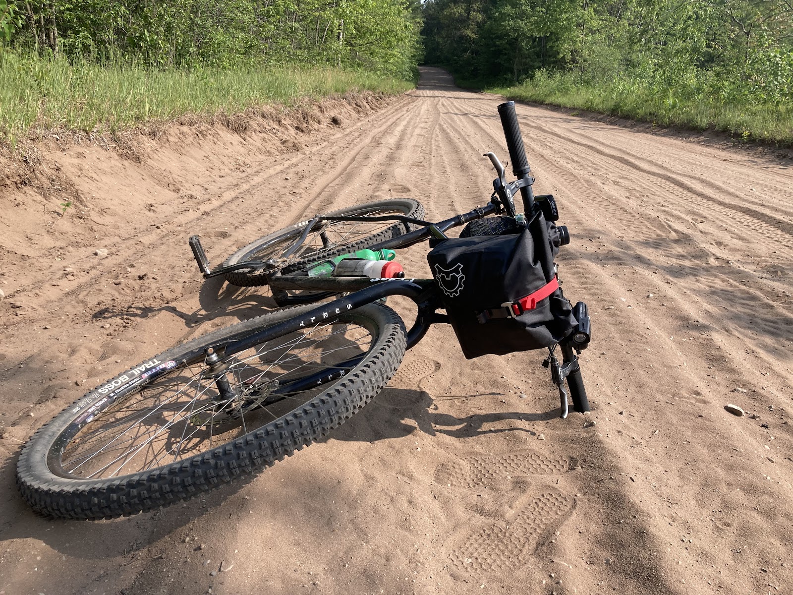
Coming up with a date to do this route took a lot of consideration. There are so many variables to consider. The heat, the wildfire smoke, the drought that we’ve been in and lack of moisture having a negative impact on the sand roads. The amount of daylight played the biggest role in my decision on when to do it. All those other factors I listed I put out of my focus. On June 19th I was mentally prepared and ready to do this. The route is 225 miles, 63% gravel, but of that I would say a third of that was broken down to either single track, double track, and either miles of sand roads or gnarly chunk. My bike I chose was my Surly Karate Monkey single speed 32/20 gearing. 

To me personally, single speed feels like a good bike for this route. No special component upgrades because that is just how I am. I had a few bags attached. The Revelate Egress Pocket handlebar bag was used for food and a second pair of base layer shorts. For food I brought along an assortment of bars, a couple apples, and packets of Tailwind powder along with Hammer Endurolyte pills, a recommendation from Andrea Larson. The second bags I put on was the Revelate Feed Bags. One of the feed bags I threw a spare tube in the bottom of, all rolled up tight. On top of that I tossed an apple. The other was empty leaving the start line and would be used for a gas station hydration bottle down the road. The third bag was the gas tank bag with charger blocks and cords. Two bottle holders on the frame holding two water bottles and my hydration pack on my back meant I would carry 3.5 liters. This proved to be critical on miles 95-142.

Getting Started

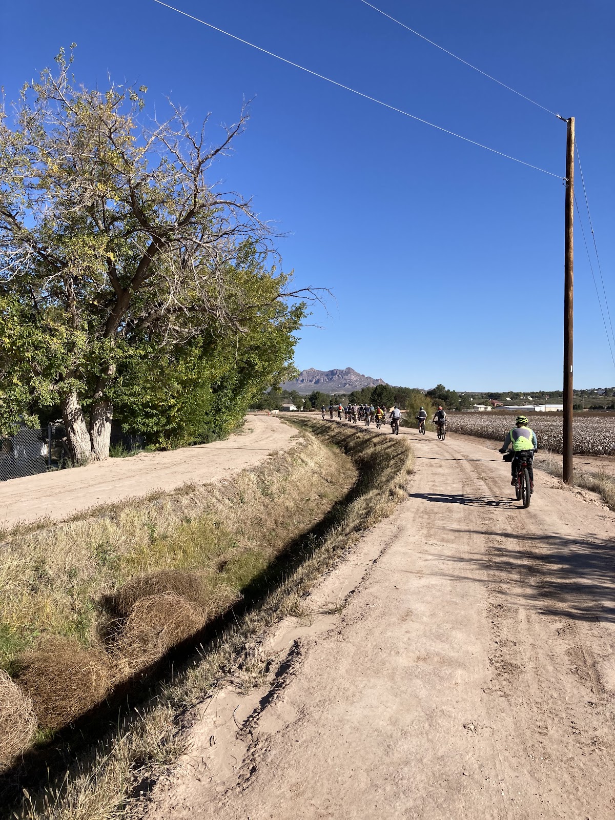
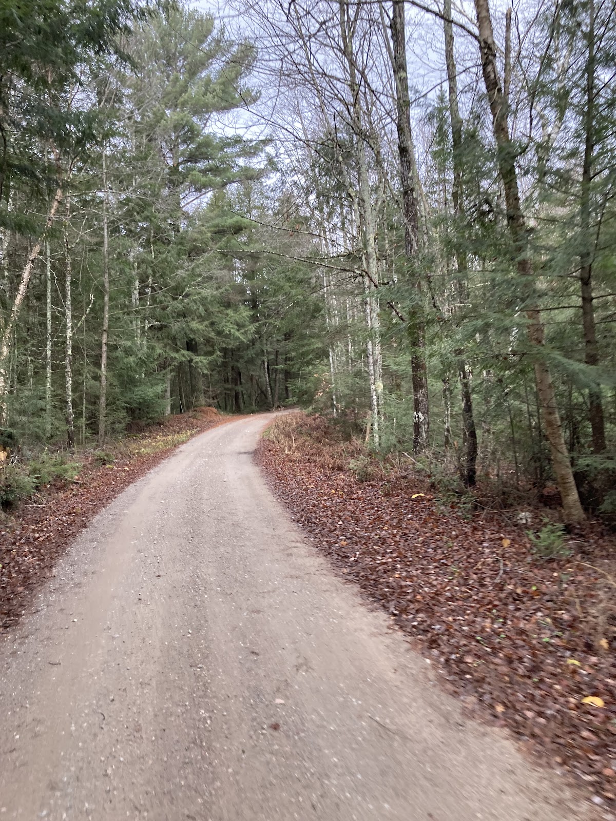
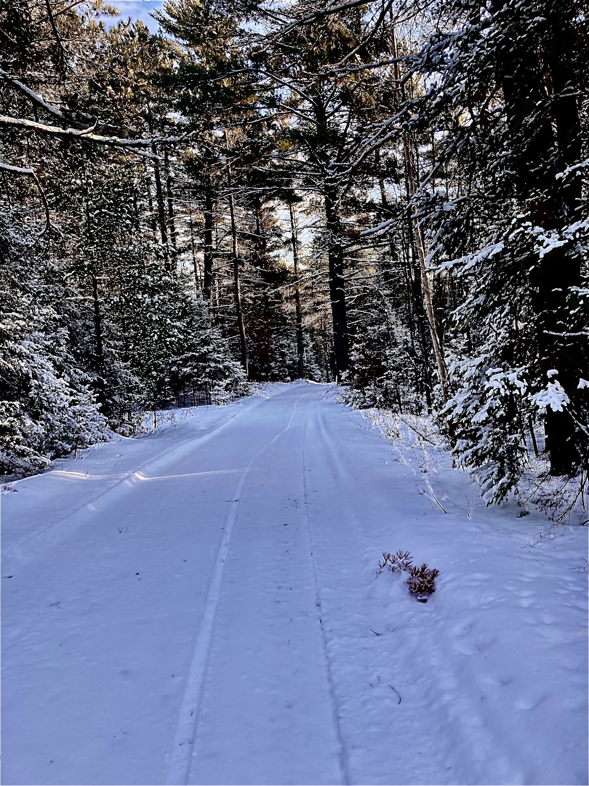
Getting sleep the night before was rough. I set the alarm for 3 am and didn’t sleep well. I threw some good breakfast fuel in me to hopefully make up for that, oatmeal with walnuts and blueberries. I had an hour drive from my house to the start line at Jack Lake. Arriving at Jack Lake around 5, the mass of mosquitoes forced me to make quick work of getting started. Soon after leaving the start line I saw a coyote running down the firelane in front of me. It was such a cool moment to start out the ride with. The section through Augustyn Springs flew by. The sun started coming up but the skies were hazy from Canadian wildfire smoke. South of Augustyn Spring the route gets a little spicy with gnarly two track forest roads before dumping out onto the old railroad bed. This takes you into White Lake.

White Lake Market

My first stop was White Lake Market. This place is one of my favorites and with being on an ITT, I made the stop a quick 15 minutes. Never had I eaten breakfast here before I was a little curious. They have a deli counter where all the food is ordered. 

Sandwiches were on the menu so I ordered and bacon egg and cheese on a homemade roll. It was as amazing as their lunch sandwiches. As I ate my sandwich out front the local old timers chatted about classic cars. One of them had a nice Ford Fairlane convertible parked in the front. Another talked to me about my ride. He told me he was always a runner and is 80 and doing a 10k this year. That was amazing!

Leaving there I knew I had one of the nine difficult sections completed. This is how I broke it down in my head. Not in mileage but sections. It really helped me keep things in perspective throughout the route. The next section was the single track at Nicolet Roche. But first I would enjoy one of the longest sections of asphalt on the route. 

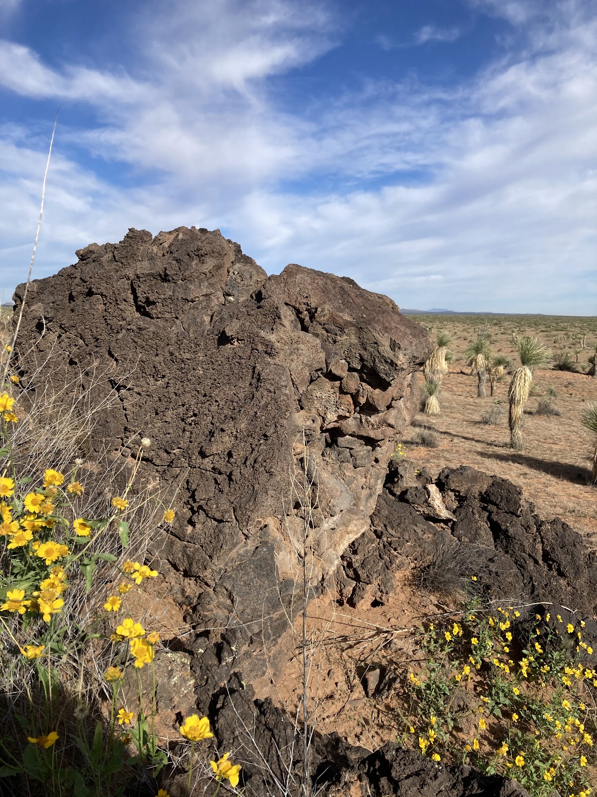
Nicolet Roche and the Famous Derecho Area

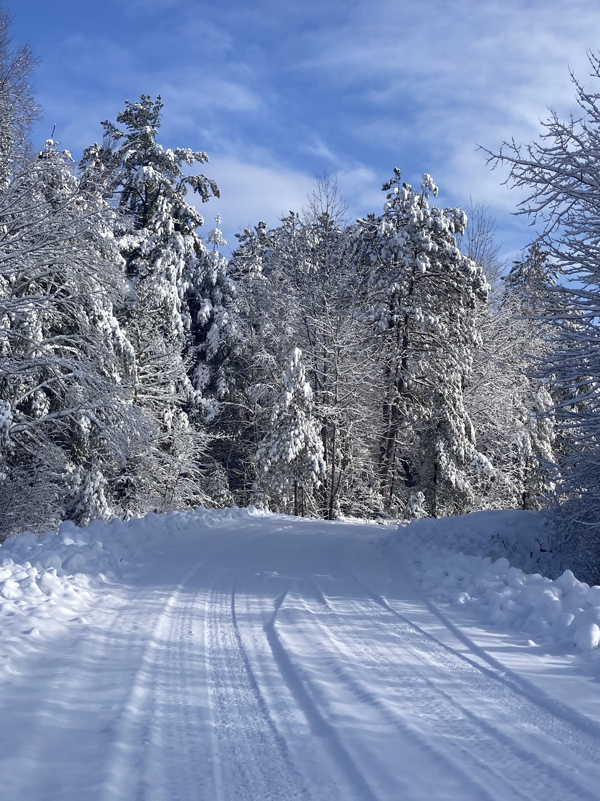
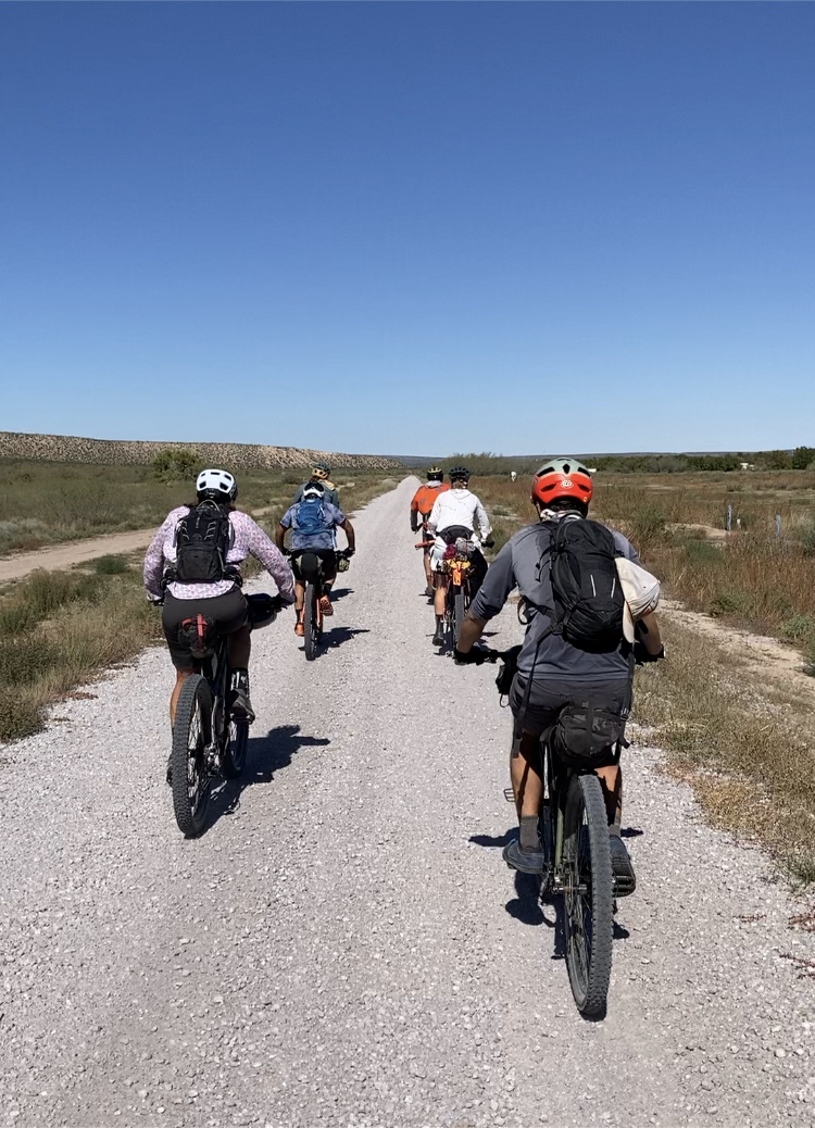
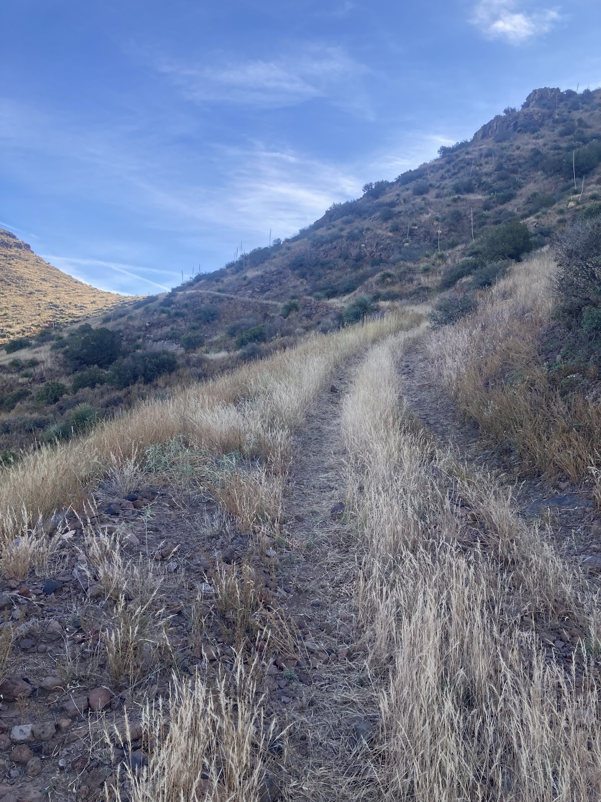
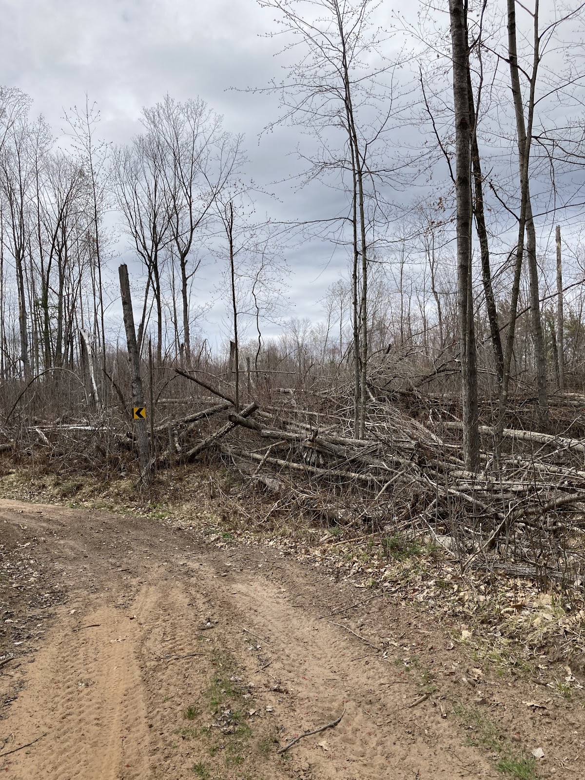
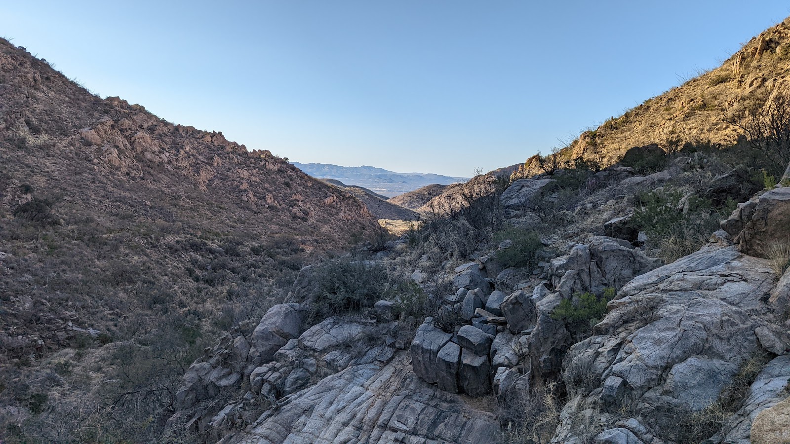
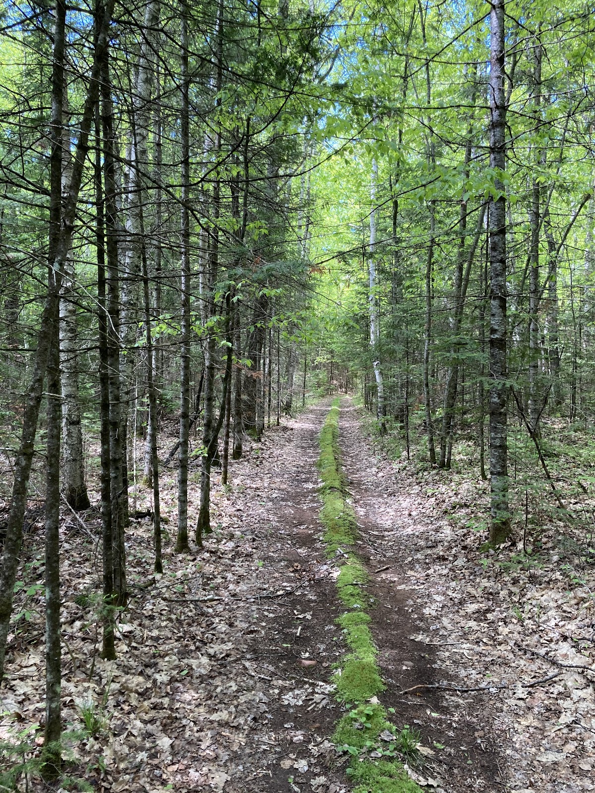
Nicolet Roche was at mile 50 and I got there at around 9:45. This is a fun old school singletrack trail filled with giant boulders used as trail features. The route uses four miles of the singletrack. Completing Roche gets you right into the rolling gnarly roads of the derecho area and home to Humble Hill. In 2019 a giant windstorm took out a huge area of the National Forest leaving the landscape barren of trees. It is a unique perspective with it being all open. The popple trees are starting to fill in now though so it will be a short moment in time that the landscape will have this unique appearance. It gives a cool perspective to see the roads wind through the hills. You can’t take your eyes off of the road for long though. The downhills are either littered with baby head rocks or huge sand pits that grab at your tires. Part way through this section I came upon a tractor mowing the edges. I asked him why and he said he is with the snowmobile club and they do it once a summer to stop the brush from encroaching into the trail. This makes it easier in the fall to prep the trails for the season. I appreciate the club’s work because without them these trails would grow to be impassable from brush or downed trees. Some of these trails are also gated off to keep ATV’s and trucks out, which I also appreciate.

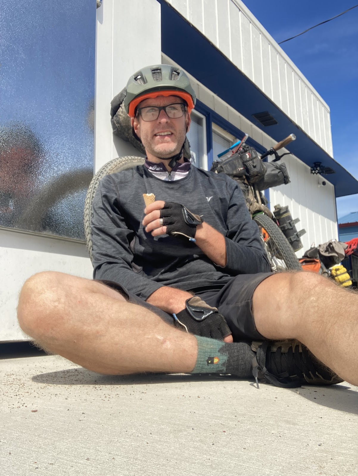
That section is pretty long, totaling 16 miles. Coming off of that is a fast roll into Lakewood using mostly paved with a scenic section of gravel through Cathedral Pines tossed in the mix. I was hoping Northern Delites would be open on this Monday. I was not too hopeful. But to my surprise it was open. The area was packed with people. Not surprising as it was a hamburger and ice cream stand. The midday sun was hot and families and kids were lined up for ice cream. 

I ordered a tropical flurry and a burger. It was just what I needed, mostly the ice cream to cool me down. Leaving town it was a short distance to get to Mountain Fire Tower. I knew this was mostly downhill to get to the firetower so I used that time to let my food settle. 

The Firetower Leads to the Tough Stuff

The firetower is one of the high points on the route so I had to climb it, although climbing the tower is not required for an ITT attempt. 

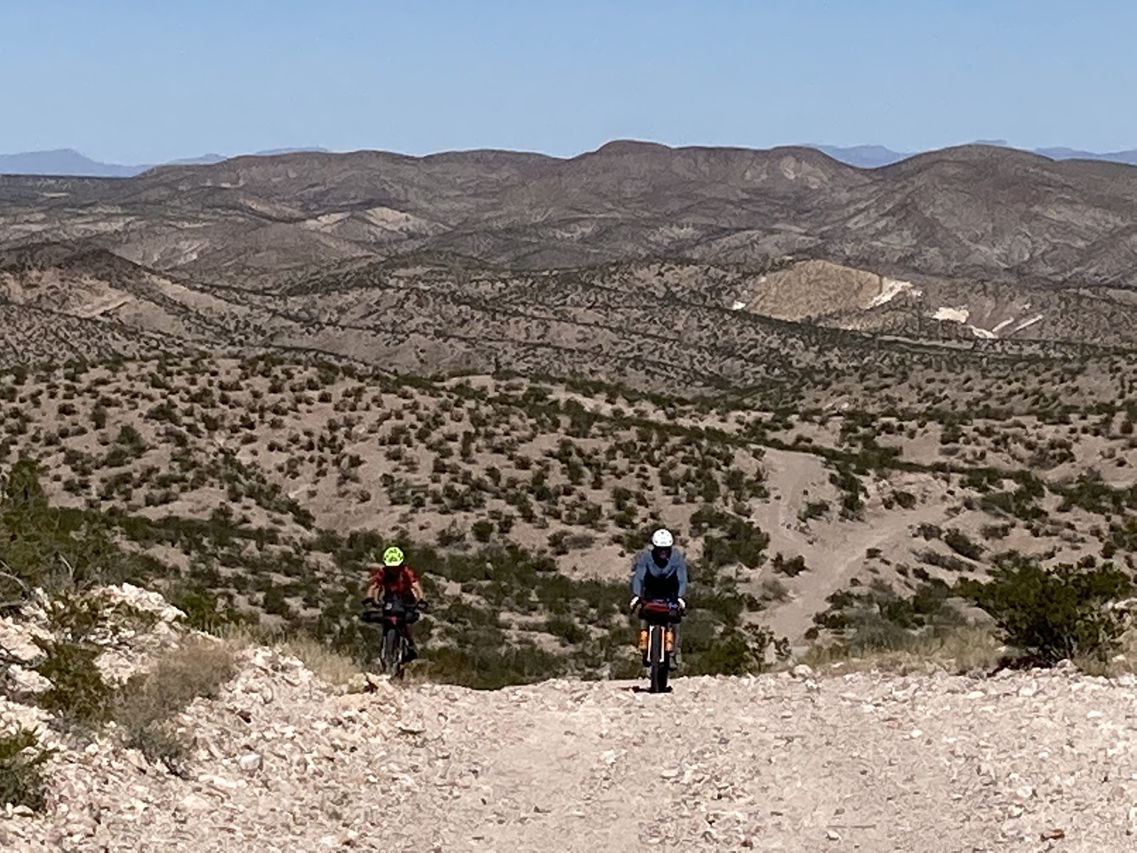
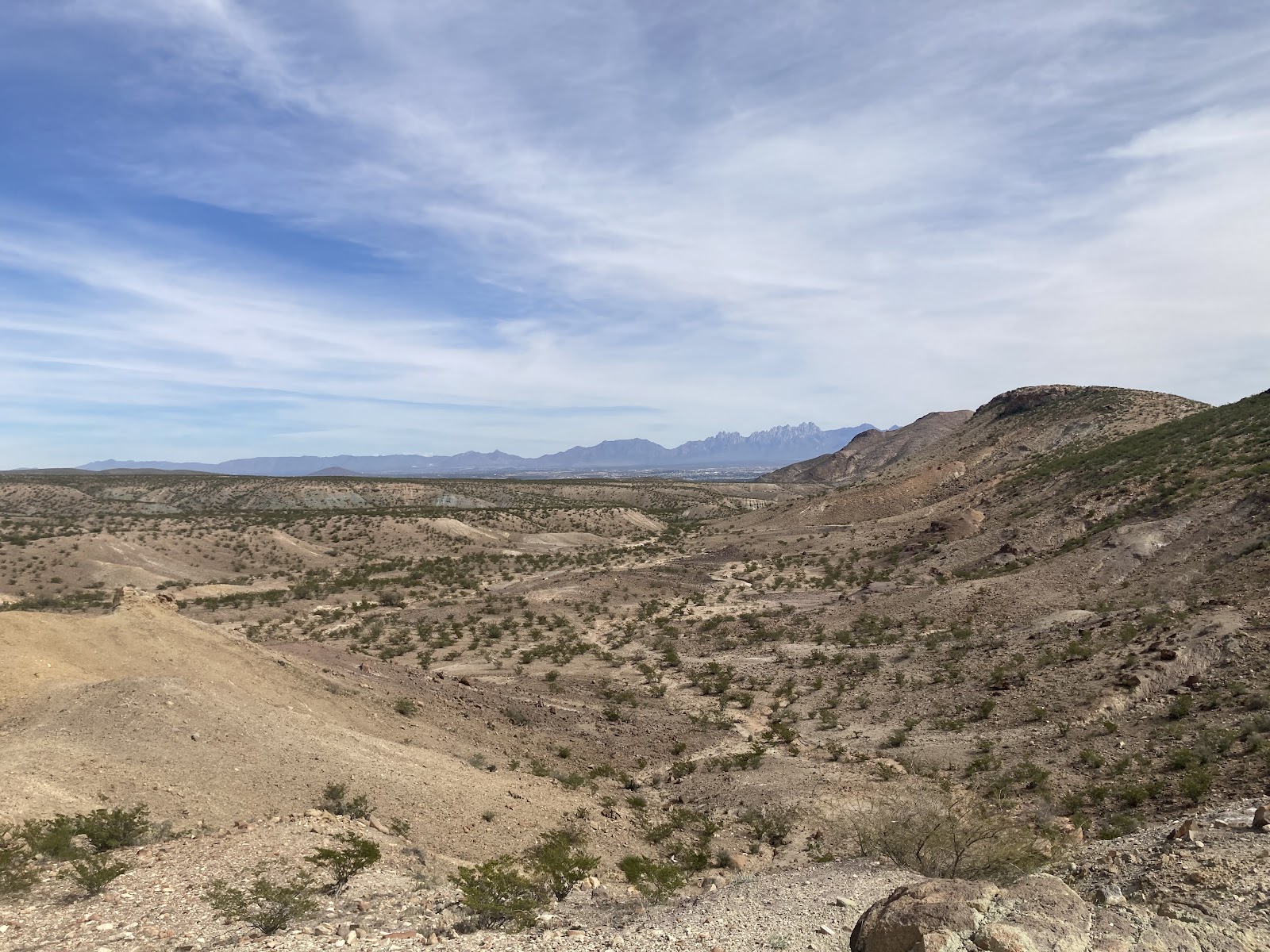
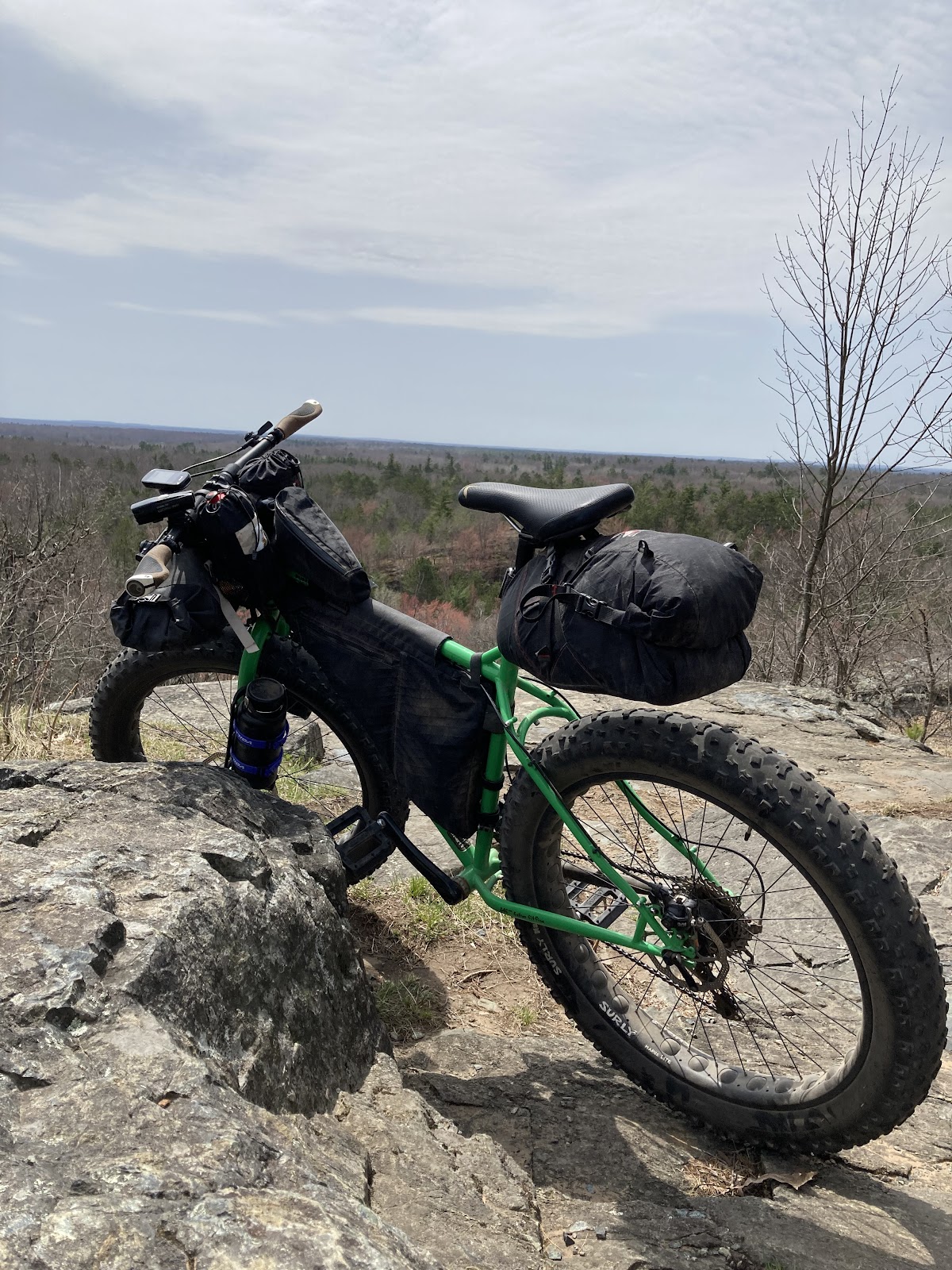
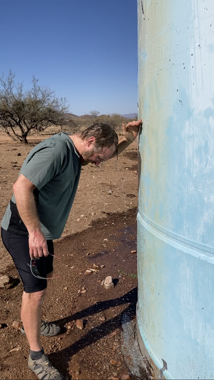
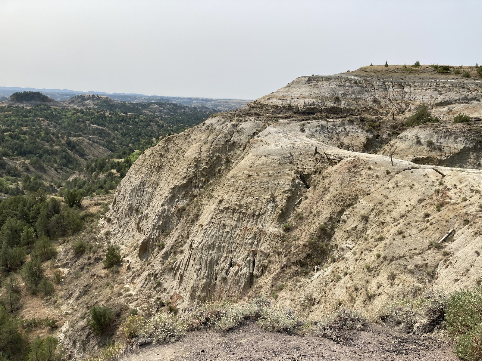
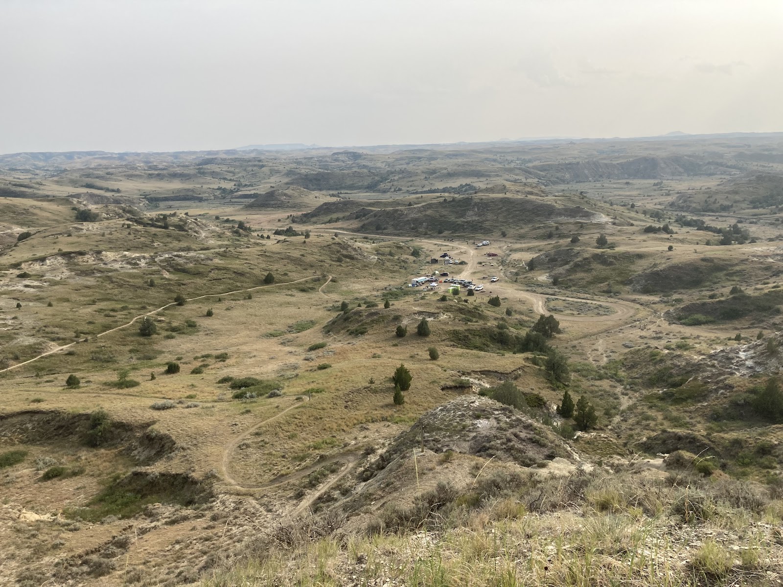
Visibility was poor from the haze in the sky but still a great view. Leaving there I still had a little more downhill into the town of Mountain where I would stop at the gas station and grab a bag of combos for my push through the night. I knew I had a water spigot at Bagely Rapids five miles down the road so I waited until then to refill all of my water. From Bagely Rapids a big challenge lay in front of me: getting through the sand roads of the Butler Rock area and being exposed to the afternoon sun and heat. Butler Rock was also a high point that must be submitted for an FKT attempt. Being on top of Butler Rock was actually a nice rest in the breeze. But I kept it short. More sand roads, the worst lay ahead. There were a lot of sections of hike a bike in this area. 

My water was going fast. This is where I needed to be careful with my 3.5 liters. I was aware if this gap of miles with no water going into the route. On top of that I had to ride up to the old fish hatchery and back and up Thunder Mountain immediately after. Mentally those were tough on my mind and my lungs were sore from wildfire smoke. At mile 125 I walked part of Thunder Mountain climb. Why waste the energy and water I thought to myself. Afterall, I needed to get to mile 140 for more water. 

Wabee Lodge was at mile 140. That place was all I could think about while climbing those hills, with its soup and salad bar and amazing burgers. I rolled in at around 8:30. Plenty of time since they were open until 10:00. I filled up on soup mostly and by the time my burger came I didn’t even finish my fries. I sat there at the table for a while. This was my low point at 9:00. I think that I needed that food. 

My Second Wind

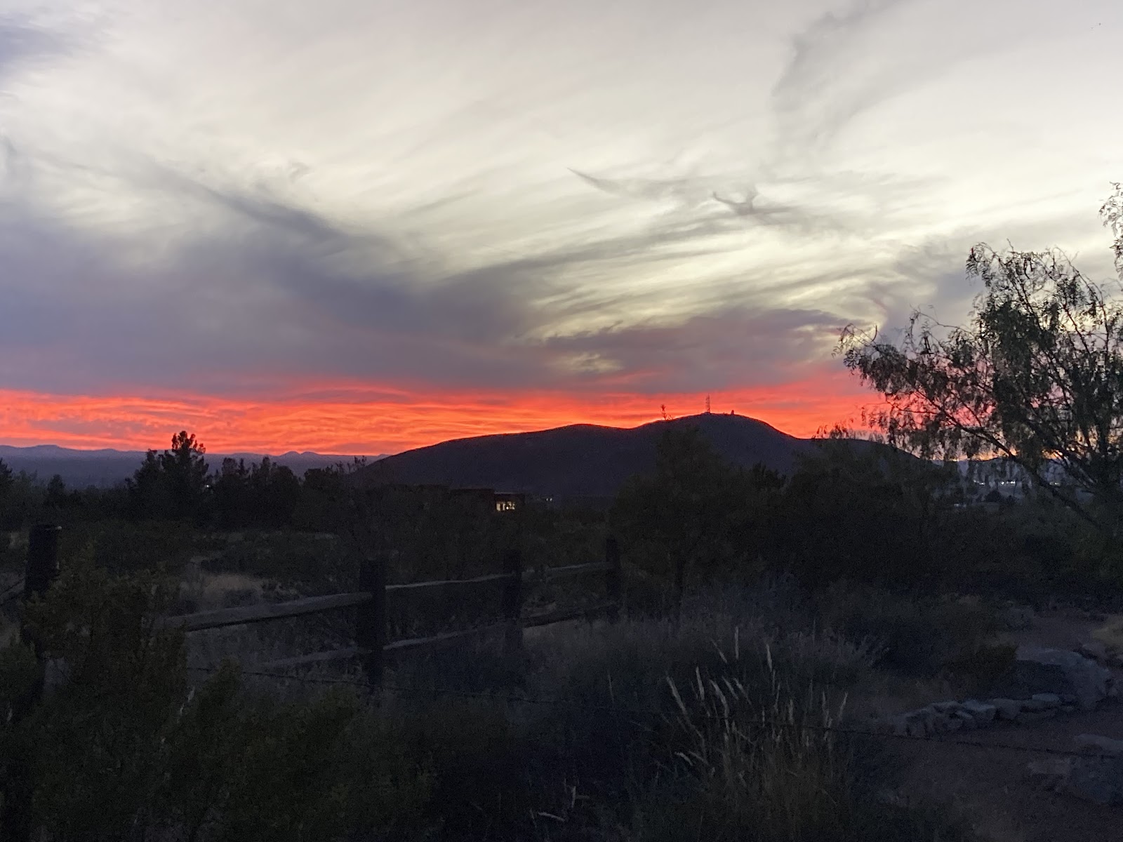
Rolling out from Wabee Lodge was a short ride down the county road before turning off onto the forest roads heading north. It wasn’t long until I started metabolizing that food and got a huge energy spike. Which was a good thing. My last high point lay just up the road. It requires a bushwhack of sorts to reach. Not many people know of Big Rock and I only accidentally found it last fall on a map and rode up to it when snow was on the ground. The way to get to the summit of Big Rock requires a short hike. But again, must be done on an FKT attempt. I scurried up the climb pretty fast as the mosquitos were on me. At the top they weren’t bad so I took in the twilight, thinking of how this was a great time to climb it. 

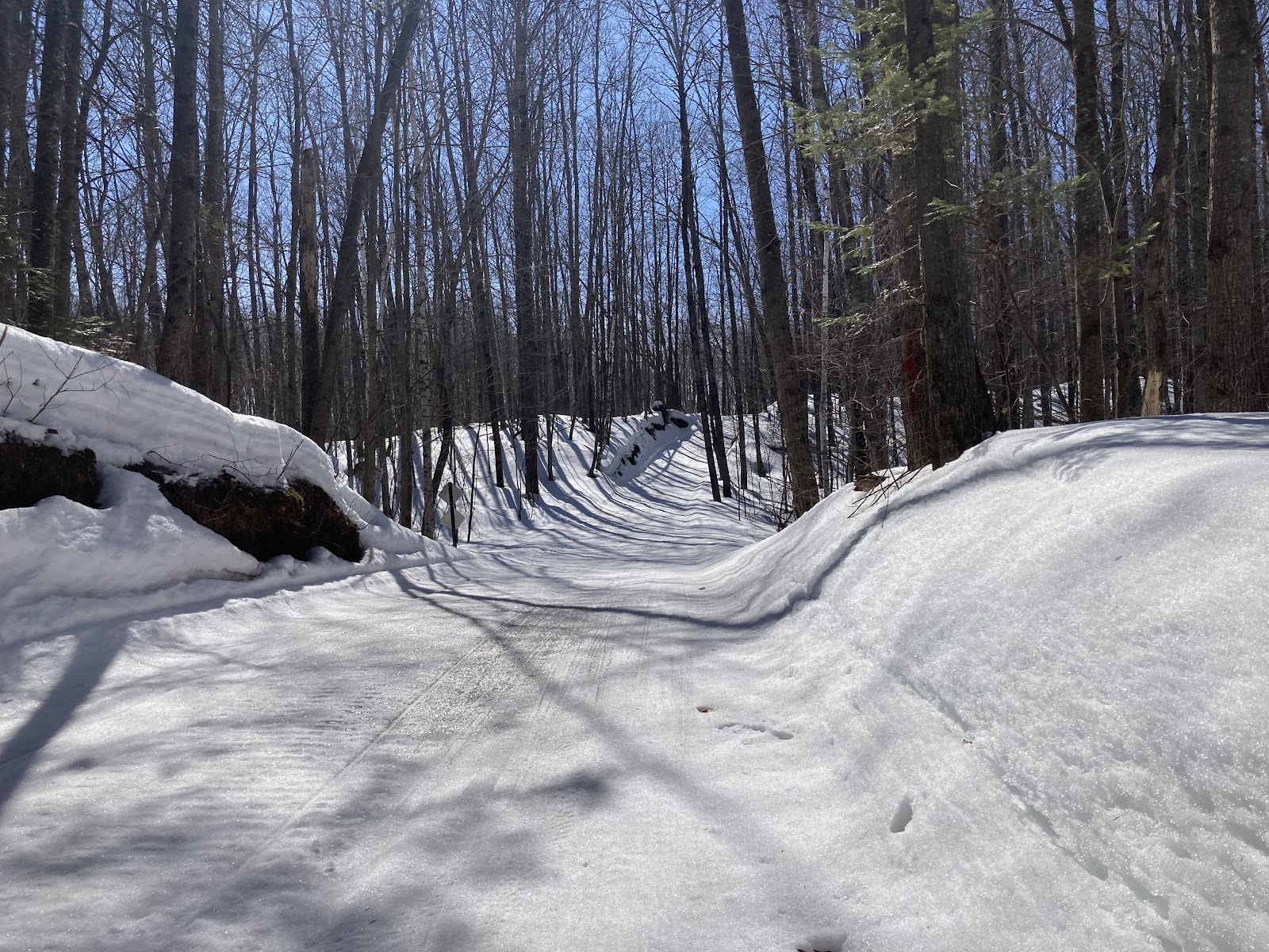
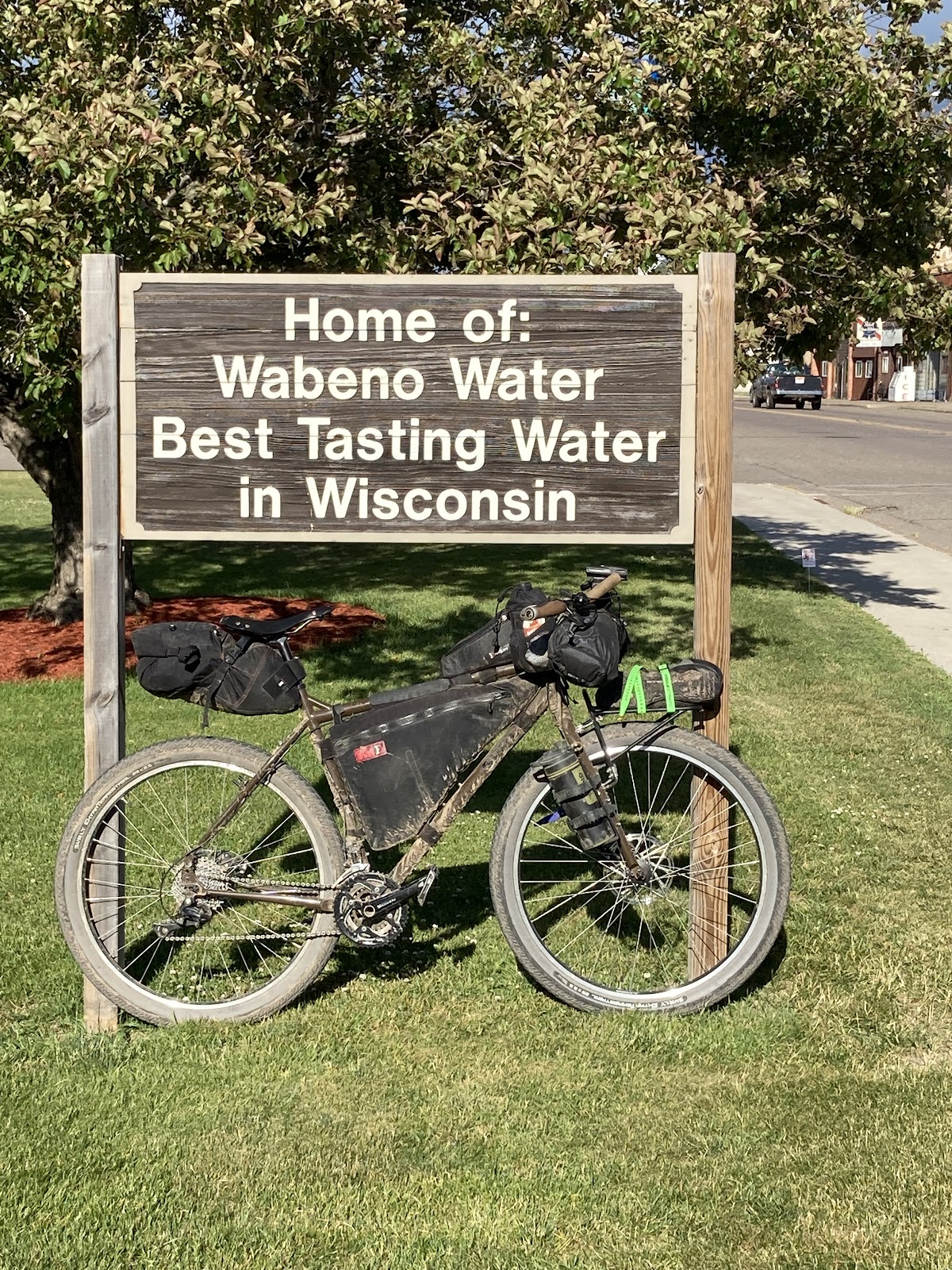
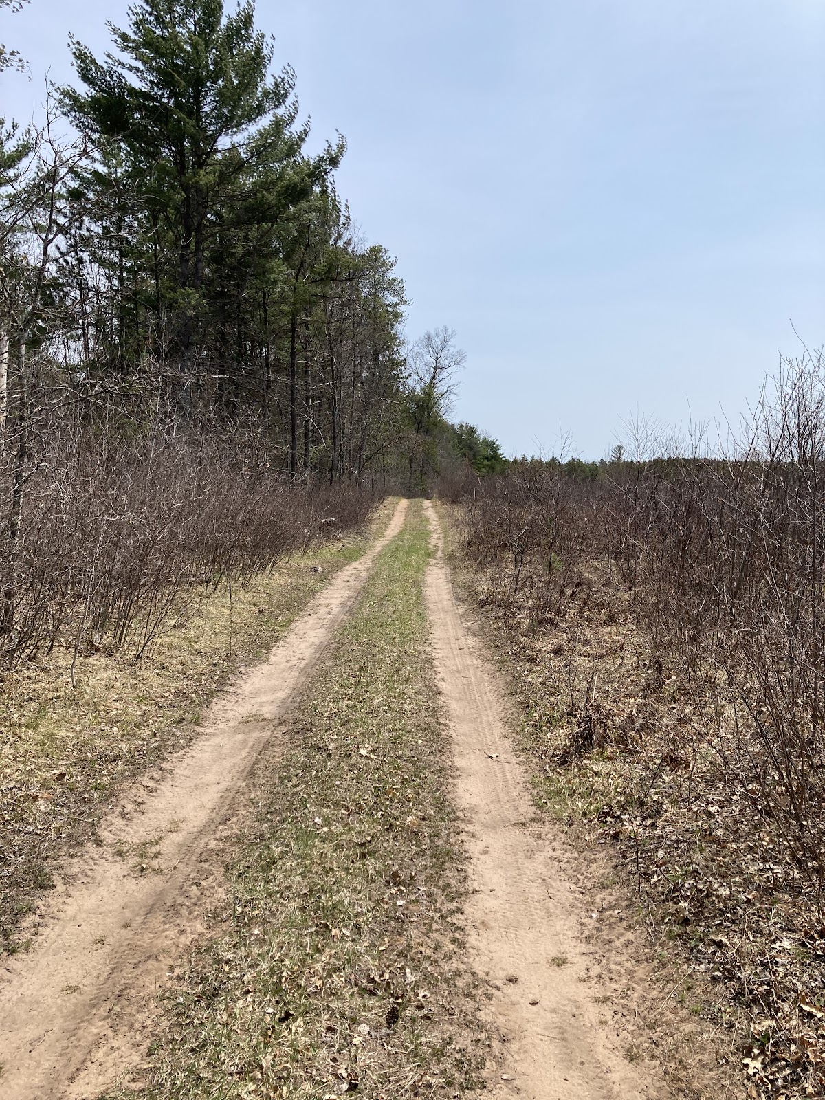
Once I was on the road again I knew it would be a relatively fast ride to Wabeno. Only one section of rutted up two track was in between other than fantastic national forest gravel roads. By this time it was completely dark, creating a new to me riding experience in this area. 

Middle of the Night Resupply in Wabeno

Wabeno was an important spot on my route. It was the last resupply of the night. 55 miles remained after Wabeno. The gas station I knew would be closed, I knew this when I prepared for the ride, but I was betting on a bar being open to resupply on water. First option was to locate a spigot in a town park though. The ride to town was amazing with fireflies everywhere! Once on County Road C I turned my headlight off and let the stars light my way and took in the full firefly effect. I was not too worried about cars on a Monday night in the middle of nowhere. I did not end up seeing another person the rest of my ride. The bar however was open but I rolled past as loud country music blared from the jukebox. I saw a sign that said public parking and bathrooms. I found the bathroom and luckily wasn’t a pit toilet but a regular bathroom with lights and running water. I won’t lie, the thought came across my mind to stay there and sleep. It was after midnight afterall. But I just refilled my water and was on my way. 

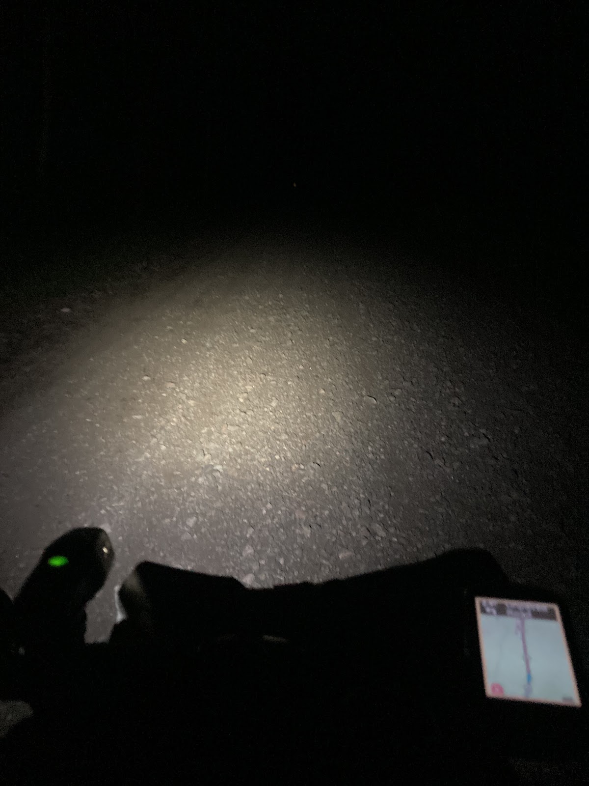
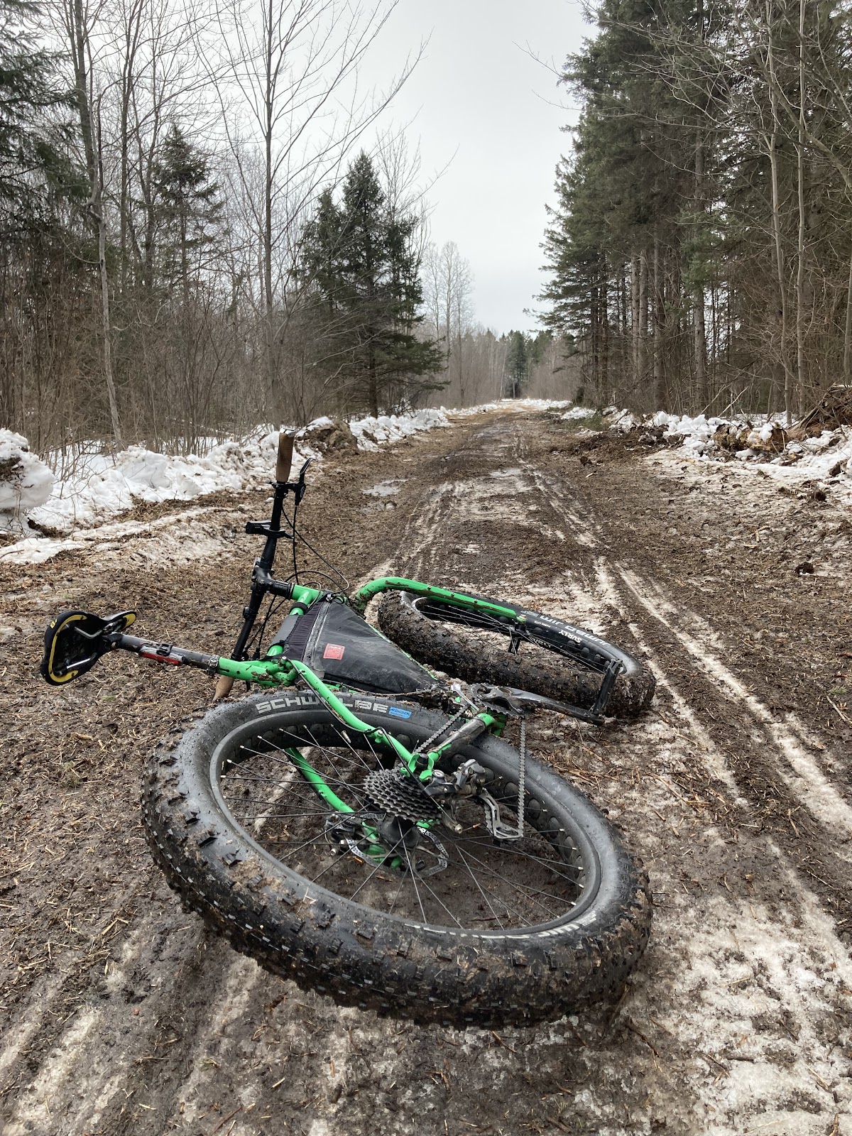
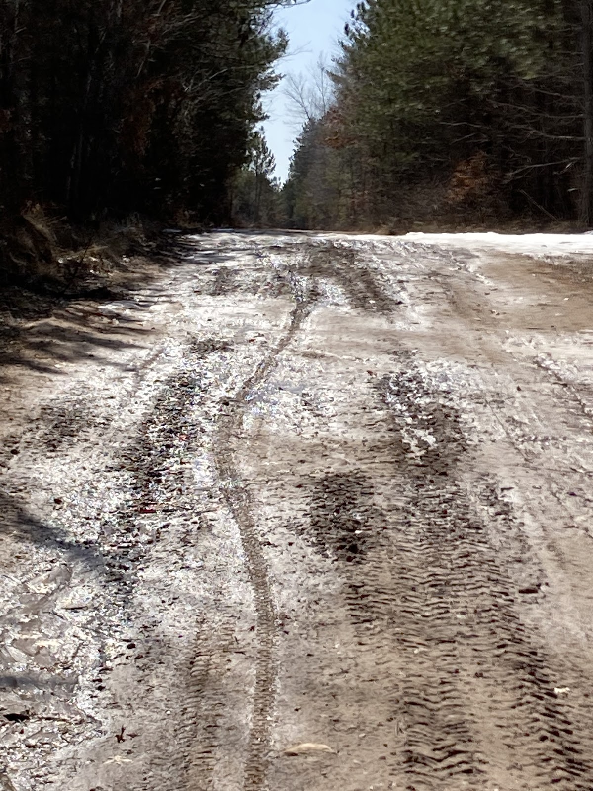
Couple more hard sections left. The first was the singletrack ski trails near Ludington Lake. Easy. I was in a really good place at the time. Roads were flying by and miles ticking away. After the ski trials a long section of blacktop lay in front of me. It was a lie though, they were doing construction and the road was all loose, soft gravel. The worst kind of gravel, construction gravel. It was only like five miles and then I was back on pavement making my way around Pickerel Lake. That is such a fun road to ride. This time all the houses and cottages were dark at 2:30am. If anyone saw me go past they would surely think I was lost or nuts. Or both. At the end of Pickerel Lake the route jumps onto the ATV trail and over the small dam. I got on the bridge over the dam and stopped and leaned the bike against the railing. I was just taking a small break but there weren’t any mosquitos and it looked like a perfect spot to lay and rest my eyes. I sort of fell asleep but it was very short as I started shivering in the damp 50 degree air. So on I rolled. 

Finishing it Up

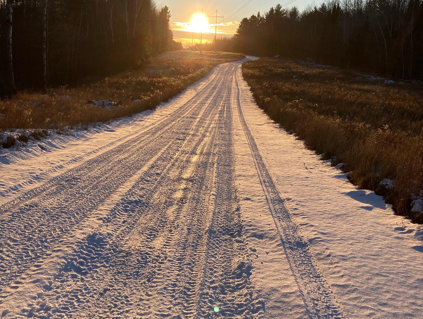
Only one difficult section left. The sand of Lost Lake Road. This year was extra bad and I was not expecting that. I rode the 7 miles of that sand off the seat the entire time, cranking on the single speed trying to keep momentum. It was soft and since it was dark it made it extra difficult to see which path was the best. Edges were the best as they were not rutted up from cars. The side that was ok changed up. At one point I almost ran into a skunk. That would have sucked badly. The bear tracks in the sand were eerie at 4am. But finally I made it out. It was the home stretch now. The horizon was starting to brighten from the sun making its way back. At that moment I thought about how it seemed like only an hour ago it was light out. So weird. One fox crossed my path. The mosquitos were waking back up. Motivation to keep moving. Jack Lake Firelane meant I was on my last road. As the horizon was orange to my left I rolled that last section filled with a renewed amount of energy.

I did it! Along with it I set the FKT with the hopes that someone will come out here and break that record. 23 hours and 46 minutes.

Lessons and Insights

A lot was learned from this 24 hour experiance. My anxiety I had over riding through the night was a nonfactor. I really really enjoyed that aspect of it. Night riding makes everything look so much different. One thing that I think was key was taking electrolyte supplements. I will use them again in the future. For others attempting an ITT of this route I would recommend running as large of tires that you are comfortable with. This is key for the miles of chunk and two track between Jack Lake and White Lake and for the sand sections of Butler Rock. Another bit of advice would be to run it counterclockwise to take advantage of the resupply points during the daylight hours when the gas stations and resturaunts are open. White Lake served as a key water resupply and it is a great luxury to have the bathroom with running water in Wabeno to refill your water. With that being said, I can’t wait to do another ride like this.

Now that I have that record set, it’s time to plan and figure out when to attempt the full 365 mile Tour de Nicolet.

All of the Important Links

RWGPS SoNic 1.2 route

Strava File

FKT Results Page

Winter 2023

This winter has been one filled with many adventures, none of them being epic and particularly lengthy on its own, as far as I’m concerned, however I put an emphasis on seeking out more adventure and bigger adventures in each one. It was a winter of micro adventures is how I would put it. And since it’s been a while since I wrote I thought I should document the small ones as one lump sum and share a little from each one. 

I always consider the start of bike winter with Global Fatbike Day. So this year GFD for me was a 60 mile solo ride around the southern portion of the Nicolet National Forest. The ice was still thin and the snow was basically non existent on this very cold early December day.

I explored a couple lakes I had never been to, climbed the Mountain fire tower, and rode the chunky gravel of humble hill. A super fun way to spend Global Fatbike Day!

One week later and what a difference that week of cold weather can do to ice production in early December! Chris Schotz’s Bushwhack invitational, a two day lake ride. Underdown for day 1 and Harrison Hills day 2. I look forward to this ride each year. Day one featured 26 lakes with about 24 riders taking part. Lesser known lakes and some favorites of the winter Underdown trail system are featured on this ride. 

Day two is always my favorite, though. We dive deep into the Harrison Hills area with lakes only accessible by bushwhack along with some that are on the “main” roads. When I say main roads I mean mostly two track and gravel forest roads, roads that rarely see a car this time of the year. 

39 lakes in total for Sunday with only five brave souls taking part. It was an amazing time with tons of hike-a-bike and plenty of exploring. This ride is becoming a classic.

With this ride and a couple other rides prior to this with lake crossings in them I had already crossed 68 lakes for the season and it’s only mid December!

The week after we had a big ice storm. Temperatures plummeted during the night causing the branches to hold onto the ice. With limbs hanging low, covered in ice, it made for beautiful scenery. However, the trees could not support the weight causing a lot of downed limbs. I took a 65 mile ride the following weekend to the Willow Flowage and was just north of the ice line to where only snow fell. Beautiful early season snow blanketed the area.

Then Christmas week I did another variation of the Global Fatbike Day ride, this time being 75 miles and finishing in the dark. There were a lot of trees still down from the ice storm in this area. The snowmobile clubs were putting in endless hours cleaning up the downed branches with hopes of opening up their trails. It made for tough riding as some roads had not yet been plowed this year. The finish at the end in the dark was a great memory. Riding areas in the snowy dark puts a fun vibe on even familiar paths.

Going into the new year the rivers and lakes started getting a sufficient layer of ice and I had been putting in a lot of miles running up the river. On the ninth I put together a 24 lake, 62 mile adventure ride starting from Jack Lake. Having never ridden across most of the lakes in this area I had a fun time designing the route and was anxious to ride it. As with any route in areas you have not ridden you run into surprises. I had one section after Snag Lake of what seemed an endless hike-a-bike. In this section I did pass an untouched remote lake or two, a fun reward for all the hard work of pushing a bike through deep snow. I tried hard to stitch this route together by connecting lakes with bushwhacking between each. This just added to the fun and provided a surprise around each corner. One memorable section was following an open creek through a bog with thoughts in my head of how few people had crossed this piece of land. I mean, why would they? It’s wetland in the summer so basically the only time is the winter. This in itself is the essence as to why I love winter adventuring.

Some rainy weather the following week allowed for singletrack trails to set up nicely when overnight lows dipped below freezing. This opened up the chance to do an Underdown/Prairie Dells yo-yo. The downtime with that bad weather also allowed my legs to recover nicely making this the perfect time to ride my modified version of the Frosty Bear route. It was a little over 100 miles and I called it Frosty Bear Triple XL. I started in Townsend following some familiar gravel roads turned to snowmobile trails. 

I put in a few roads that I had never been on and hit a few lakes to ride on. This actually put me over 100 different lakes that I had ridden across this winter. It was a stat that I took pride in. 

Stopped midway in Laona for questionable gas station burritos. A few unplowed sections outside of Laona kept the ride interesting and the technical part of it kept my body warm.

Another gravel ride finishing in the dark gave it the feeling of not ever being down those roads before. I was starting to like these late start rides that finish in the dark.

The weeks following that ride were packed with numerous trips to Underdown to ride singletrack on rides that I coined as the Underdown Adventure Club. Mostly it was just Chris and I on these rides. Chris and Candy had brushed out some new trails with the lengthening of the run along the Prairie River all the way to Hay Meadow and added the Flat Line deep in the Underdown, which added a couple pond crossings along with bog adventures. 

As temperatures started to melt away the snow on the gravel in the Wausau area I started venturing out on it. At one point the snowmobile trails closed for a short time. This was a good opportunity to connect gravel roads to snowmobile trails. I created a route to connect the Ackley Forest to the AT-AT Walker loop which added a huge amount of adventure to a run-of-the-mill gravel route.

The next week I used this opportunity to ride the Jack Lake area snowmobile trails after riding their singletrack. Doing rides like this easily creates fun 40+ mile days. It’s stuff you don’t normally get to ride and if you do ride it in the summer it’s a much slower pace through tall grass as opposed to the smooth and zippy groomed trails.

At this point we were getting towards the end of February and things started looking like we might have the start of gravel season but Mother Nature had other plans and slammed us with a few storms in a row. 

Mid March I went to Three Lakes to ride some 70 miles of  forest roads in the northern Nicolet National Forest. I really love this area of the Nicolet for the roads around Hidden Lakes singletrack. However, this was the first time that I’ve ridden that area in the winter. It turned out to be a beautiful and unique perspective of the area. The snow was extremely deep and the roads were in great condition.

The morning was very cold, maybe hitting -20 in some areas of the forest, causing any moisture in the air to crystallize and cover the ground making everything shimmery.

Unfortunately the lakes had too much snow on them so I was not able to ride them. It might be a route I’ll have to create for early next winter. 

The end of March, which I consider also the end of winter, I had a couple adventure rides I wanted to complete. First I wanted to properly connect the snowmobile trails in the Ackley Wildelife Area to the gravel roads to the south. And second, I wanted to connect the Underdown to Harrison Hills via snowmobile trails. Since the snowmobile trails need to be closed to do this I had to do it during that time of the year. Also it  has to be done when it’s cold so the trail surface is firm enough. So on a Monday I tackled the Ackley. I really like the Ackley because of the expansiveness of the low and swampy nature of it. The trails still had a ridiculous amount of snow for this time of the year. The creeks and ponds were still a bit froze over so not many migratory birds were present. Once those opened up the area would be full of so many species. It’s a really nice place to go once that happens.

They were fast rolling early on but as the hours ticked away the sun took its toll on it. Soon I got on gravel and made my way back to the west side to reconnect to snowmobile trails to bring me back to the start. 

The next two days were spent at Underdown and Harrison. The first day I rode Prairie Dells singletrack for what would be my last singletrack snow ride of the year. Once it started warming, to avoid damaging the delicate singletrack,  I made my way to the snowmobile trails. I rode those north to Copper Lake Road and then headed over to Horn Lake Road to make my way back to the parking lot. One last lake ride before hitting Horn Lake Road. 

The ice would not last many more days in the high sun angle typical of late March. 

After leaving the ice I went back to Horn Lake Road only to find that the majority of the way back to the parking lot was unplowed. After pushing my bike through snow, which was almost knee deep, I checked Google maps to see how far it was. Three miles. And it was a looong three miles! But, hey, it builds character, right? So I will say that it was a good last day of riding underdown winter trails for the year.

The next day was back up to that area to ride from Copper Lake Road to Harrison on the snowmobile trails. After the long ride up the asphalt of Grundy Road I was onto the snowmobile trails. They were so fun. I mean really, really fun! Rolling hills and banked corners from the snowmobiles made it a roller coaster of fun! It’s hard to put into words how fun and flowy the trails were. 

There were endless intersections to take but I only had a limited amount of time to ride. I could’ve ridden those trails forever. I made it a 30 mile loop. The longer the day went, the softer the trails became. As I got towards the southeast of Harrison Hills the terrain flattened somewhat, twisting around random small lakes.

 It was an amazing end to the snow season. 

With about 2,000 miles logged this winter season it was one to remember. I am really excited to take what I learned from new areas that I rode this year and build some more amazing routes for next winter!

Monumental Loop

We rolled into Las Cruces plaza on the long downhill from New Mexico State University a little early, around 8:15 on Saturday morning for a 9:00 start and bikepackers were already starting to gather. Some had burritos that they purchased at the farmers market on the plaza and others were chewing on the danger-bread baguette Pablo gave each of us the day before. Plenty of familiar faces and new friends were there. People who we met on Thursday and Friday on the group ride, the Makers Market and at the Bikepacking Summit. I quickly realized that this is a close knit community. I don’t just mean the community of Las Cruces (although it definitely is) but the bikepacking community as a whole. Bikepackers have a friendly, very laid back nature that makes approaching each other feel like meeting old friends. I talked to some as I made my way around the plaza checking out everyone’s bike set up.

After Matt Mason took the stage to give us a few last minute words we had a slow roll out with Grace leading the way. Grace is on an adaptive bike. She leads the group out of town each year and is an amazing inspiration.

There were about 150 of us on that massive rollout. A lot of passerby motorists gave bewildered stares. A bunch of bikes loaded with camping gear rolling through town.

The Monumental Loop was created in a figure eight pattern with the intersecting paths in Las Cruces. So you had a southern and northern loop, basically. The group soon split in half into two groups, each of us given direction weeks ago on which loop we would do first. Candace and I have the Northern loop first so we go left. 

Leaving town on the north loop is a 12 mile process consisting of a few roads, some asphalt bike paths and a little ditch riding. Oh, and ditch riding refers to riding the high mounds alongside the arroyos. Learned that from the Gravalexrs group ride on Thursday evening. 

Las Cruces is in a large, flat valley so once you reach the edge of town you start climbing, leaving the cotton farms, alfalfa fields and pecan groves behind. 

Once we get a good distance from town we turn off of the road and onto the first set of singletrack, the Doña Ana Trail System. The desert singletrack was smooth with very little trail features but with some natural flow. We seemed to be at the high point when entering the trail system so in front of us was a lot of downhill. We had not gone very far on the route at this point so groups of bikepackers were still in clusters in this region. It was fun watching groups of six or eight bob up and down throughout the open desert landscape. Dropping out of the singletrack we came to a long stretch of straight gravel and then onto some blacktop, providing us with opportunities to socialize with each other and meet new friends. 

Riding forward on the asphalt we came to a food truck and decided to stop for food there instead of the Blue Moon bar as we heard that the bar was more of a Harley bar or something like that. The food truck served me some amazing Jamaican jerk tacos. Just the right treat before climbing the Jeep trail out of the small town.

The climb up the Jeep trail was rocky and washed out. Maybe a 500’ climb but once we got to the top we had an amazing view of the valley.

There was another sort of long climb although it’s a bit smoother. As I remember a nice little canyon with plant life and trees was somewhere in there.

Shortly after reaching the summit we also reached the last opportunity to set up camp on public land, which was about mile 54, until after Hatch. Going further meant we’d need to put in another 25-30 miles to reach legit camping areas. It was way too early to think about stopping so the choice was pretty easy to keep rolling. 

The steady downhill on mostly gravel roads was quite easy and scenic as we entered more farmland. On one of the farm fields we saw a large bird, maybe a crow, take flight with a five foot snake in its talons. As we rolled into Hatch it was clear why the town was the chile capital of the world. Roadside stands were all over the place selling chiles. Gunny Sacks of chiles and dried chiles hanging. Throughout the ride we’d see random chiles laying on the side of the road, probably falling out of farmers trucks as they drove them to the market. 

Once in Hatch I was told about Sparkey’s having good burgers. We stopped there where I stood in line outside to order a burger. 

Turns out we got there just in time as they were closing. A few other bikers were not as lucky and rolled through as we are eating with the restaurant now closed. Across the street was some interesting statues, most interesting being the alien. 

Sparkey’s is also where we came across Henry, who was a sort-of local from northern New Mexico. It was the second time that day that we saw him, the first being on the singletrack. He told us that there was only one person ahead of us. I asked him if he wanted to ride along with us and he agreed. After filling up our belly’s and somewhere in between the span of the five or so miles of highway pavement and the gravel turn off we also came across Dave, a local fast single speeder. We joined up with him and rode the gravel turn off into the night. The gravel road quickly turned to baby head two-track. The night time riding made it difficult to find a good camp spot so it took us a little while to find a spot big enough and void of too much vegetation to fit our group of four. 

A couple times we wavered on a few spots but eventually found a really nice one. After setting up camp we chatted, getting to know each other as we star gazed. The Milky Way was bright. The air was silent. Soon we saw bike headlights bouncing along on the two-track we just got done riding. It took them a little while to reach us. Once they reached us they decided to join us as we had plenty of room. Emily and Erick, both from California. They would end up leapfrogging with us for the next few days and were really pleasant to talk to during our time in New Mexico.

Morning brought a long couple of chilly hours in the shadow of the mountains around us. The view as I opened the tent was amazing though.

When you set up in the dark it’s always a mystery of what the environment must look like in the morning light. To me that’s some of the magic of bikepacking. As others packed up I made my way up the path to check out the abandoned cabin Dave was telling us about. 

It was a nice little spot to take in the view of the morning sun lighting up the distant hills. White Gap Pass, possibly the most difficult section on the Monumental Loop, also lay a short distance ahead so it was also a spot of mental preparation. 

White Gap Pass lived up to the hype. After riding through some low areas with beautiful trees, hike-a-bike, and basketball sized boulders you come to a long bench cut two track scaling the edge of the mountain. Most of this involved taking my bike for a walk. 

The summit offered incredible views. From Hatch the total climb was almost 2,000 feet and it was the highest point on the route. From here it was a super steep, barely rideable with a loaded bike, descending two-track with loose baby heads everywhere. After riding edges of some cattle ponds and a few other interesting sections in the valley we came to some blacktop and I spot the aid station up ahead. Stopping here we got some great peanut butter and jelly sandwiches and Halloween candy while talking to a couple of great locals running the aid station. They told us that the one person who had been ahead of us yesterday camped at this spot. He was quite a ways ahead of us, maybe four hours. Dave rode the downhill so fast through White Gap that he was also ahead of us. They also warned us of the loose gravel on the asphalt downhills leaving that area. It was super helpful information, although the information was also on the rwgps as a poi, but still a good reminder. As we dropped down out of the high area of white gap it was a very nice down hill and as stated the corners were sketchy. We wanted to tuck and get some speed but really couldn’t. As we got further down we were on a long straight road with some rolling hills before turning off onto a sand road in the basin. I had to walk my bike in some of those sections which was fine by me. 

The hot sun beat down on us and as I walked a section a vulture was staring at me from the one lone tree, maybe waiting for me to die. A couple spots in the area following the sand roads were very wet, a condition we had not seen on our trip up to that point. The wet area allowed green brush to flourish. Exiting out of there we climbed a little into a more rocky area. One spot in particular had a nice view of a canyon in Picacho Mountain. 

By this point we were right on the edge of town where we popped out into a subdivision and coasted on the asphalt, dropping further down and back into Las Cruces. Looking forward to a nice meal our plan was to go to Chala’s Woodfired Grill but they were closed so we shot up the street a bit further to the Spotted Dog, where ironically a patron had a spotted dog. A good burger with extra fries filled me up and we also had the opportunity to chat with a couple that just finished the south loop. 

While leaving the restaurant we discovered Candy’s tire was pretty flat. After closer inspection we saw that the sidewall had a slice from all the rocks we encountered. We had to go back to the car to grab some extra food so while we were there she used the floor pump to get the tire pressure nice and high and then sloshed the Stan’s around with the wheel on its side giving the slash a nice coat of sealant. This seemed to do the trick. Stan’s was oozing out the slice and sealed it up.

The way out of town was to climb up Tortugas Mountain. The path started as a very sandy access road for utilities and then turned to singletrack. On the way up we saw Josh Propfe. Josh just got the FKT on the Monumental Loop a couple weeks back and did it in under 24 hours. He’s a super nice guy and we had the chance to ride with him and McKenzie on the Thursday Gravalerxs group ride. It was great to say hi to him one last time before our trip was done. 

After we finished chatting with Josh we jumped onto the singletrack that brought us around the mountain and into a small subdivision. Going through the subdivision was just a short section before getting on more singletrack. The sun was pretty much gone by this point. 

We rode on, the terrain getting more hillier as we were going and although it was dark and hard to say for sure, we were climbing. Another night of looking for a spot to set up tents in the dark. It took until around 8:30 to find a spot we thought was suitable. Candy actually stopped a quarter mile behind me and text me that she was worn down and stopping. I found a nice arroyo to set my tent up in. A nice view of the city below too. 

That night I heard some hoof sounds from an animal and heard it push on my bike. Later in the trip someone said it was probably a javalinas which makes sense. 

The next morning we had a bunch of singletrack that lay ahead of us. The trail was super fun weaving in and around all the ocotillos, yuccas and prickly pears. 

It was my favorite trail on the route. The trail follows the base of the mountains all the way south to Vado. It was on this trail that I picked up a nice size thorn in my tire.

I left it in and just called it a bio plug, a term I learned from one of the locals. A week later and the plug is pretty much worn down and still holds air.

Once we reached Vado we stopped at the first gas station which had a nice selection of fresh fruit. Fresh produce is great while bikepacking!

About a mile or two up the road we came to an incredible food truck. 

The people working didn’t know English so we had to communicate using google translate. I got two barbacoa tacos. You could tell the tortillas were homemade. Sweet!

A little further south we went off route and across the interstate to load up on water for our long trip through the desert. The only water that we knew we might have is an aid station that may or may not be open by the time we’d get there so we just were playing it safe. Besides, relying on others in such a harsh environment might be kind of foolish.

Heading west towards Killbourne Hole meant a small climb into the high desert and more sand roads. 

These roads were really fun to ride. Not too sandy, solid base to make good traction. The color was an interesting orange. Getting to Killbourne Hole and camping there was a goal going into the trip. We got there quite early and had a lot of time to enjoy the view, stopping on the southwest end first and then riding up further to where the aid station was marked on Matt’s map. 

The aid station was still there and he had plenty of snacks and water and even a keg of beer. We talked with him a while before looking for a nice spot to set up our tents. 

Looking at different outcroppings I found a really nice spot to set up.

Shortly after, a large group that we rode with earlier in the week showed up. Henry happened to be riding with that group. It was great to see him one last time! They all set up camp on top of the plateau. In addition to them a group of five women who are local riders were there. We talked with them into the night, the sun setting behind us creating another spectacular display in the desert.

I was especially interested in their role in creating such a bike friendly community. Such things as the ditch riders and the Doña Ana She Wolves and the progression of the bikepacking summit.

The morning brought an amazing sunrise to the far side of the Killy-B-Hole casting shadows that had given the crater a new look. As we departed we said our goodbyes to our friends. 

Today would be a bittersweet day. I vowed to take in every bit of desert scenery and at the same time was looking forward to going back to Wisconsin to see my family. 

Shortly after leaving the crater we crossed through a cattle gate and into the Aden Crater Wilderness Area. It’s unique and vastly different from the adjacent landscape with its spheres of lava rock. While crossing through the cattle gate we once again crossed paths with Emily. She hiked into the lava rock mounds with us to get a closer look. Some yellow flowers here and there grew from between the lava rocks and yucca growing at the base below. Reminders to us now of an ancient volcano millions of years ago now somehow full of life.

A short cut across the railroad saved us 15 or so miles of pointless ride around, Matt’s words of warning “you might die here, trains are fast though not quiet” running through my mind. After we crossed a train about two miles long did roar through. Remains of perhaps an old train depot lay, only a foundation remaining, along the shortcut across the rails. A metal can that’s been in the desert sun who knows how long lay with a few bullet holes close by the foundation, maybe thrown from the train by an engineer, maybe a can from a dinner from an old cowboy running cattle?

The road leading back to Las Cruces, a long, straight dusty path, deserted of any cars and any sign of life. 

As we get closer to the city the Organ Mountain starts coming into view. The easily recognizable sharp peaks, peaks that remind me of the Tetons only void of the snow that’s always present on the Tetons. 

Soon we cross the Rio Grande dam, hauntingly empty of water this time of the year, the dam plates look pointless, almost apocalyptic in the dried up state of the riverbed. The riverbed full of beach sand was impossible to ride with my 2.5 tires made me wish I had my fatbike to ride down the riverbed, like fat biking the ice on the river back in Wisconsin.

After crossing the riverbed we start seeing signs of the life filled Las Cruces valley. Rows of pecan trees, alfalfa fields, and cotton. Ditch riding. Dogs barking at us as we ride the ditches behind the farm houses. Slowly the city appears. A nice paved bike path with walkers and cyclists all around soon appears. Such a juxtaposition of where we were only a half hour prior. Las Cruces; full of life, full of community, full of caring people. People like Diego Medina, who told us about the native history of the land during the summit, sweet Grace Hilguin who led all 150 of us bikepackers out of town on her adaptive cycle on Saturday morning, and of course Pablo Lopez and Matt Mason, who, without their vision we all would not be there riding this land. I fully applaud what Pablo and Matt have created down there. There are so many more people we met, too many to mention, who welcomed two Wisconsinites to their city. This is what bikepacking is all about; caring, welcoming and kind cyclists.

2022 Tour de Nicolet

The Tour de Nicolet is a bikepacking trip that I organize each year. I send out invitations to a few of my friends and like to keep it to no more than 12 people. Each year I make the route a little different, this year being a loop, each day being about 70 miles in length, wandering and weaving throughout the Nicolet National Forest. This year as like last year we would be starting and ending at Jack Lake. 

The Commute

My plan was to ride from Wausau to Jack Lake after my work day ended at 3:00. The west wind makes it a relatively quick 56 mile ride to get there. After eating a burrito for dinner and saying goodbye to my family I took off making it to camp by 8:00. Kelly Longtine, who was driving from four hours away, told me he would meet me there to camp with me. When I got there I was surprised to not see him there already. With the daylight being the longest of the year at the end of June I easily had enough time to set up camp and gather wood for a fire. During the time that I was setting up camp Kelly did arrive and he brought a few beers, a nice treat while sitting by the fire.

Day 1

Packing up in the morning was quick and easy and I met the rest of the group at Jack Lake singletrack trailhead parking lot. It was a straight shot of two miles on a decent fire lane road. We had a plan to meet up and leave by seven but this turned closer to eight as we stood and talked a while before setting out. 

The sun was shining and we had perfect weather as we rolled past familiar places such as Augustyn Springs, Crotch Vegas, and Kent fire tower. Shortly after grabbing some sodas out of the bear proof remotely placed cooler of Crotch Vegas we saw our first bear of the trip standing in the road. We were coming around a corner so we actually got very close to it. 

Soon after Kent fire tower I mapped the route in areas new to the others. A mass of county owned land between highway 52 and highway 64, roughly 8 miles from top to bottom, provides me with ample opportunities of endless miles of logging roads and fire lanes to work with that criss-cross the forest. This forest road I used is one of my favorites. It is bench cut into the side of a massive hill, hills that are numerous in this area. It then hooks up to a lesser traveled logging road with giant wash outs on the descents and hard climbs with baby head rocks. It was on this road that we saw a giant moth. It was like no other that I’ve ever seen before with a body the size of my thumb and wingspan of 6-8”. 

Leaving the county forest we immediately connect to the Wolf River State Trail. This multi use trail took us into White Lake, a tiny town most people never go through. The town has an historic train museum but most importantly for us is the deli at White Lake Market. The food here is amazingly inexpensive and has huge portions. We all had some form of a sub that comes in a giant roll. The market is a step back in time with its jars of pickled meats on the deli counter and variety of items for sale that are home made by locals. I picked out some chips, a chocolate milk and a homemade cookie to round out my meal.

After fueling up our bodies we had a few miles of fast rolling blacktop and then some singletrack through the unique Nicolet Roche with its giant boulders on the singletrack. Rolling over them with our loaded bikes is challenging and fun!

We exit the singletrack onto some forest two track roads that lead us to a slightly better road. Lots of creeks and small rivers in this area meant we were jumping in one of my favorite hidden spots, a nice relief on this hot summer day that was pushing ninety.

Fifteen miles of paths consisting of sand roads, active logging roads and ATV trails were in front of us before we’d roll into Mountain. The active logging road is what gave Chris a tire puncture that should’ve ended his ride if not for Candace’s Dynaplug bacon strip tool. The stick that went into Chris’s tire was about a half inch in diameter.

Candace was quick with the largest bacon strip loaded into the Dynaplug and as soon as Chris pulled the stick out she had the bacon strip in and stopped the leak immediately. It was a pretty amazing fix to what looked like a hole that was way too big to plug!

We stopped in Mountain for some resupply at the gas station while Eric looked around the small town for a store that had loctite for a stubborn seat bolt that kept loosening. He came up empty handed as the local hardware store was already closed. Our camp was only a few miles away and after setting up camp and a second swim of the day in the river we all went to the Weatherwood Supper Club, a favorite stop for those that go on this trip throughout the years.

Chris likes the place so much he brought a black tie knowing we would stop. 

But seriously, the great thing about this restaurant is that they have a soup and salad bar. I’m a big fan of getting fresh vegetables whenever possible on a bikepacking trip. By the time we got done with dinner and made the two mile ride back to camp it was time to sleep. 

Day 2

Day two was a tough day, probably the toughest, with a lot of sand roads the were exceptionally soft because of the lack of rain this year. One reprieve from the sand at about the halfway point at Butler Rock was welcomed. We sat there for a good while soaking in the breeze on the high overlook on yet another hot day. Down in the forest the breeze was almost non existent.

Some more sand roads were ahead of us for a few more miles, a few instances of pushing bikes up the hills. The reward ahead of us was a hidden waterfall at the old fish hatchery. A fish hatchery that has been closed for a while but still owned by the National Forest and gated off a mile from it to keep cars out. It is just a super amazing hidden place that I found by accident a year ago. I think we all went into the super cold water. The temperature was now about ninety but within the mist of the falls it dropped to about sixty. 

The falls itself was a double drop with areas at each level to wade in. I took the time to filter some of the crystal clear water out of the falls but I suspect filtering was not necessary given the clear nature of the water.

The property has a bunch of old buildings still standing and gives a haunted vibe with its state of abandonment. 

Leaving the falls behind we had to climb the big hill back up to the gate.

A difficult climb in the heat  up to thunder mountain, which was maybe a 600 foot climb, and then a stop at Thunder Mountain Lodge for a coke and some air conditioning. We didn’t make the stop long because we haven’t made very many miles so far, but needed the break from the heat. With refreshed bodies we set out from there and headed deeper into the national forest, through some really great ATV trail. This one made better with the dry conditions, a little bit of a flow singletrack feel to it. After this it was a fifteen mile stretch and we were at Wabee Lodge. This place also had a soup and salad bar. It’s a must stop if in the area. The last stretch of our day was 25 miles through some of the most beautiful areas in the national forest. 

The gravel is always really fast rolling here. The only downside was the relentless black flies. It seems that they were out a week later this year. Our camp for the night was at Goodman Park, a small county campground that also is home to StrongFalls. The river is not so good for swimming and cleaning up, because of the combination of fast flowing water and rocky and slippery conditions, but better than nothing. To our surprise Goodman Park had firewood for sale on an honor system pay can. Eric and I happened to grab a site that a turtle resided in. 

We gave her plenty of room to lay her eggs and pitched our tents at a distance. With our tents set up we sat around a nice fire with good campfire conversations on the day that we had.

Day 3

Morning routine was as usual, pack everything up, eat some breakfast, which for me was a bar and an apple that I still had in my feed bag from home, and fill up on water. We had about fifteen miles of good forest road to get to Armstrong Creek, which was home of one of the best convenience stores around. Lots of typical gas station hot food options. All of this day was typical forest gravel roads for easy and fast riding. 

A favorite stop on this section is Morgan Lake, a national forest campground with a great swimming beach. A little rain came down on us after Morgan Lake. By this time we were really close to our lunch/dinner stop at the Roadhouse139. 

This place has great smoked meat specials on Saturdays. This being a Saturday I ordered the quarter chicken special and their amazing homemade sides. They also have a great outdoor area, one of the positive things that businesses put in during the pandemic. We sat there for a couple hours while the rain came down. It was the only day of rain we would see on the trip, here at the roadhouse and a little more during the night at camp. A few of the locals came and asked us about our adventure and our bikes. One guy that was talking to me thought we had e-bikes. He thought my frame bag was the motor. I guess a frame bag does look a little strange to people that have not really looked at a bikepacking setup. 

Unfortunately this was also the end of Kelly Longtines trip as he came down with something and felt too ill to go on further. Deciding to call a friend a couple hours away, he was picked up.

Leaving the roadhouse left us with only ten easy miles to the campground at Lost Lake. Once there we set up and went for a swim. After our swim Eric and I cut up a dead tree for our fire. We also found a few 12” diameter blocks of wood, one of which was our all nighter in the fire pit and the others were repurposed as chairs. 

Another night of great campfire conversations but once the rain started up around ten everyone went off to their tents. The sound of rain on the tent was, as always, a nice way to drift off to sleep.

Day 4

The start of our ride on day four was a stop at Chipmunk Rapids, a couple miles from Lost Lake, to fill up our water at the artesian well. The water runs continuously and is such an amazing hidden secret up there. With full loads of crystal clear water it was off to Long Lake for breakfast at Grandma Sally’s. Generous portions for a low price is always a standard there. After ordering the pulled pork scramble I went outside and laid out my tent and other wet stuff in the sun to dry from the previous night’s rain. With the completely clear skies and the high summer sun it didn’t take long to dry out. It also seemed like the previous night’s rain pushed any humidity out and we were given a perfect summer day.

After breakfast we made our way through the dense pine forests of the Popple River headwaters portion of the Nicolet. In the center of this section of forest is the giant MacArthur Pine log. It lays on its side with a plaque in front of it, lightning taking the tree down in 2003. In the 40s it was considered the largest white pine in the world at 17’6” in circumference and stood at a massive 140’. In the shade of the dense pine forest I cannot imagine this log will last for too many years. 

The forest starts to thin out a little as we approach Argonne and cross County Highway G but we quickly go back into the forest after G. We are now on some pretty amazing roads as we close in on Otter Springs single track trail system. 

The road hugs the edge of a small creek for a little ways. Once to the singletrack we had the option of riding the trails or staying in the gravel to bypass the single track. Chris and I decided to ride a new line on the singletrack to test it out for his Crystal Bear bikepack race next spring. The others would meet us a few miles up the road at Johnnie’s Resort.

Johnnie’s Resort is another must stop location on the route. They serve a brand of frozen pizzas called King Pin. They’re made in Green Bay and are super yummy. If you’re not sitting inside at the bar overlooking beautiful Wabikon Lake you can sit on the great outdoor patio with a nice view of the lake. We sat outside on this occasion and ordered three pizzas. The pizzas along with a New Glarus was a great combination on this amazing day. 

As we rolled out I noticed a gated snowmobile trail and on my Garmin it looked like it would connect us to the road we would eventually be on so I convinced the group to take it and add a little scouting adventure to our day. Turned out to be a lucky guess, however we did end up on the snowmobile trail a little further than I thought from looking at the map. It was a super fun little section, maybe 3-4 miles in length. The grass was a little long in spots and made for a fun detour that brought us to where we needed to be.

Back on our original route we had about fifteen more miles with a wide assortment of riding surfaces. There was the hilly gravel we were on followed by a few miles of asphalt, a quick section of ski trail to short cut some of the asphalt, then some really great snowmobile trail, and finally an ATV trail that took us into Wabeno. You don’t want to skip Wabeno because of the gas station for resupply and all of the interesting historical pieces they have along the main street. It’s an old logging town and they take great pride in preserving that history. They have a logging museum that is free of charge and a giant logging train sitting out front. As you travel further down the street you pass an old log built library that still functions as one, a small historic church, and a one room schoolhouse. It’s really a cool town that most people never travel through. 

Leaving Wabeno is a quick asphalt ride to the campsite at Richardson Lake National Forest campground. With it being a Sunday night we had our pick of sites and we got our best one of the entire trip. It sat high above Richardson Lake with awesome views of the sunset. Collecting wood for our campfire consisted of a combination of foraging through the forest around our site and me riding around on my bike, going site to site and collecting firewood from the previous weekend’s campers leftovers. I would use my front rack making quick time on hauling pieces back to our site.

Our combined efforts netted us with a giant pile for one final night’s fire.

The fire was great, the conversations greater and our backdrop was of a beautiful lake. The wind was high when we got there and a few sprinkles moved through but once those passed it became calm and peaceful for our last night.

Day 5

Today being the last day everyone was a little antsy to get back to Jack Lake. I, on the other hand, had to ride all the way back to Wausau making it a solid 100 mile day for me. Most of the roads are very easy on this day. We exit the National Forest and into the Pickerel area consisting of many more lakes and vacation homes on those lakes. Despite the fact that there are more asphalt roads on this day, the twisting and turning in and around all the lakes make for a memorable experience. We stopped at a small little dam and snapped one final picture of our group, minus Kelly Longtine.

Before departing as a group and me going my separate way back to Wausau, Chris and I take one final deviation from the route, a shortcut that I spot, which uses an old logging road. It was a great little shortcut that led us up an enormous hill neither of us could climb. Once at the top it connects to a snowmobile trail which would be where Chris and I went our separate directions. 

After saying our goodbyes I was off for 50 or so miles to get back home. One stop at a gas station in Summit Lake and later on, one river fjord, I made quick time of the last leg of my journey. 

This was an amazing year five of the Tour de Nicolet. Although it was smaller than the previous two years, it was a great group of friends making memories to last a lifetime. And now, time to start working on next summer’s route…

Building the Serpiente de la Arena Bikepacking Route

The idea of this route was a long time in the making. A couple years ago I discovered he sand roads around Butler Rock and I was recently thinking about those roads with the intention of creating a fatbike specific bikepacking route. The thought of creating a bikepacking route through areas too difficult for tires narrower than 2.8” was really intriguing to me. I’ve been to the Butler Rock area many times since that initial time there. In fact it’s the area that I used for the 2021 Tour de Nicolet route. But the roads I used on the TdN, although sandy, are some of the easier in that area to ride through. I wanted to dive deeper into the area, making this more of a challenge and find all that the area had to offer. On April 16 of this year I made my first scouting trip with the goal of discovering as many roads as possible that are rarely used. I used the fat bike for that ride and laid down tracks on over 85 miles in the area. Some of it was still ice covered. I came away with a good understanding of what I wanted the bikepacking route to look like. 

When I got home I mapped my bikepacking course based on what I had found in April as well as past knowledge of the area. One of my other objectives was to map the route through the Nicolet Roche but to use only the two track instead of the singletrack trail but still stay really super close to the singletrack, at times crossing paths with it. I would follow the general direction of the singletrack from south to north. The reason for this was to create a route that could be ridden even when the singletrack was closed for the season or to give the rider the choice of riding the two track or singletrack or a mix of both. Or a person could decide to make the Roche their camp location and ride singletrack for the day, making this a three day adventure. 

For my trip I decided that my best point to start at would be in Lakewood. There are numerous places to start, which I labeled on the map. Where I chose has a super nice paved ATV parking lot with bathrooms and it’s right in town. A bike rack is placed near the bathrooms, which makes me feel that the town welcomes and promotes cyclists. It would be a safe place to leave my vehicle overnight. The bathrooms would provide a great place to change out of my bikepacking clothes after the ride. There are also a few restaurants in town for after the ride. 

Three weeks later on a Monday morning I set out on my overnight trip. I had a few camp spots in mind so I was pretty chill on my pace and let the day come as it may. A mile or so of atv trail connected me to some super curvy and hilly blacktop. A person starting this route might be initially thinking that this will be super easy and quick. A roadie came at me, zipping along. Probably a great road for local cyclists with its curves and hills skirting along the edge of Paya Lake, the lakeside cottages empty for the week. A couple short bits of gravel until mile 10 and then I hit endless gravel. At mile 14 I got off of the main gravel road and onto four miles of atv trail that brings me into Crooked Lake. Being a Monday nothing was open in Crooked Lake so I just passed through and back onto some atv trail. The groomer was out smoothing out the sand making it extra difficult even with the fat bike tires.

About four miles of this super loose sand and then the surface started consisting of more of a gravel base making things a lot easier to roll on.

I found a super cool two track that atv’s were not allowed on which connected to another road and as a bonus I avoid going down County Road W. Great find!

Some more miles of super loose sand and sections of gravel in between to break things up before coming to Butler Rock and it’s super high view point if you decide to hike up. I don’t always take the hike up but today I did and I sat and ate lunch at the top.

The day was windy with gusts in the 40’s predicted. It was at least that gusty, maybe higher.

Continuing on was more of the same loose sand before coming to a firm gravel road for a few miles. I spot a snowmobile trail that has a sign posted for no atv’s.

I take it hoping to find a nice path through and be off the beaten path a little. A distance in and the trail forked. I take the more overgrown direction and soon the truck tracks that kept the grass at bay made a loop to turn around but I kept going, regardless. It starts to get more overgrown as I hike my bike around fallen trees and soon I am carrying my bike over downed trees before coming to a total trail blockage of downed trees, impossible to get my bike through. I turn back to the last split and ride that out to the main road. Making it out to the main road I still consider this a win cause I did use about three miles of snowmobile trail and avoided that much of the main gravel road. I also came across a sign posted that I was alongside Waupee Lake Swamp State Natural Area. This happened to be a nice find with its views of the small lake off to my left and one that I would not have found if I stayed on the main gravel road.

Continuing on the gravel I made my way to the most southern portion of the route. After one small river ford

I came to an area that was recently burned from a forest fire only to discover a half mile later that I was riding into that fire. The winds were so strong that it pushed it across one gravel road. My route went around the back side of it and as I rode in the direction it was pushing towards a police car came in with its emergency lights going and soon after the forest service fire department came with sirens on.

I went around the front side of it safely as the main fire was still a ways from my route. It was a good reminder of the consequences even a small campfire could have.

I reached the blacktop that brought me towards Mountain and Bagely Rapids National Forest campground. With the wind at my back I made quick time on the five miles of asphalt. Rolling into the campground I had my pick of sites with only four other sites taken. With the forecast for possible severe storms I picked one with the safest looking trees. I also was lucky to have a site on the river.

A quick meal of Mountain House was what my belly needed after a hard day in the saddle. After dinner I got rid of my trash from the day and from dinner and then refilled all of my water before going to bed for the night. I had the roar of the river as background noise however it was a restless night with the possibility of storms weighing in the back of my mind.

I woke up early the following morning with only a sprinkle throughout the night. Any lost sleep was for nothing. I got everything packed up, ate a meal bar and an apple for breakfast and made my way onward. My first five or so miles were made up of atv trail on the old railroad grade, the surface being super loose but not bad at all on a fat bike.

Two nice bridges overlooking the river was the highlight of the five mile stretch. Also, in the middle of that five mile stretch was the town of Mountain consisting of a restaurant and two bars and a gas station. On a Tuesday morning the only thing open was the gas station. Turns out they had a great selection of ready to eat hot breakfast sandwiches. Thinking about the unseasonable heat and humidity I would be facing that day, I also grabbed a bottle of Body Armour.  

After the grade I crossed highway 32 and onto a logging road with active logging going on. Passing two log truck semi’s bouncing along down the rough logging road I thought about the enormity of the amount of timber that was hauled out of the area from the 2019 blow down, a super powerful straight lined wind storm that took out trees in a line from Jack Lake to Mountain. For anybody not familiar with the area, as the crow flies it is roughly 30 miles in distance. I was heading into the blowdown area and would be in the hardest hit part of it later in the ride. 

After crossing highway 64 I came across another snowmobile trail that I decided to check out. This one worked out to actually take a short cut to where I needed to go and it was a more exciting way to get there not only because it was off of the main gravel road but also had some nice down hills and ended with a run through a tall stand of red pines. Once back on the gravel it was not long until I made a left onto another atv trail. This one was another that had soft beach sand. Lots of turns and punchy climbs meant hike a bike in a few spots. Midway through this short two mile section I came across a giant bullnose snake laying on the trail.

I picked it up with a long stick, its head flattening and getting wide as I did, to get it off of the trial where it would be safer. I was glad I took this road and came through at the time I did cause I got to see such a cool and unique snake.

After the atv section was another nice, easy pedal down a couple miles of blacktop and a right turn onto Old Grave Road, a beat up logging road which turns into two track leading to Nicolet Roche. Being here many, many times I knew exactly what to expect, which was a mix of sand roads and washed out roads littered with baby head rocks to super smooth forest two track. After crossing the bridge on Van Alstine road I headed north on two track that I have never been on. Very unexpectedly I had a white wolf trot across the road about 20 yards in front of me. It was the highlight of the entire trip! Of course things happened so fast I could not get a picture but it is something I will remember forever, much like the moose that jumped out of the ditch right in front of Candace on one of our waterfall bikepacking trips in the Upson area. Just a very cool memory to hold onto.

Heading north across highway 64 I climbed the super steep Humble Hill, known from the old Humble 44 Nicolet Roche race.

When you climb (push a loaded bike) up this hill with all the baby head rocks scattered all over it, you think that you are at the top but then it flattens for a second and steep again until finally you crest it.

The downhill after is so fun though. It is void of the baby heads and is super smooth as compared to the climb, yet you still expect some bad spots judging from the road surface of the climb. My descent was great though. A few more climbs highlight this section of rough forest road, each summit featuring a great view of the endless miles of straight line wind carnage, the open landscape now exposing all the hills and valleys. 

Another section of snowmobile trail and then onto primarily blacktopped surfaces to finish out the ride. The exception is the unique ride through Cathedral Pines State Natural Area. The gravel road narrows here to one lane through a tunnel of dense trees and moss lined ridges which make up the edge of the road. It is such a fitting way to end the ride and roll back into civilization. 

GPS: https://ridewithgps.com/routes/39198766

Sky Island Odyssey

The Sky Island Odyssey is a bikepacking route masterpiece created by Sarah Swallow. It is in the extremely biodiverse region of the Sonoran desert in the borderlands of southern Arizona that takes you through the Santa Rita Mountains. The route not only transports you through a beautiful, unique and diverse place but also, in stark contrast, a place that bluntly shows you the harsh reality of immigration and the humanitarian, empathetic aspect of it.

After more than a year of planning and excitement our day had finally arrived to embark on our five day Sky Island Odyssey bikepacking adventure. It was a small group of close friends. Myself, Chris Schotz, Candace Jenkins, Eric Simkins and David Lieble, all of us very unfamiliar with the harsh, dry environment of the remote southern Arizona desert. A route that would test all of us in different ways and push each of us to our limits. The route itself, which Sarah said should be given five days to complete, had only one resupply point each day and on top of that I added some difficult additions, the relentless and rugged Elephant Head singletrack trail for Wednesday and 14 miles of Arizona Trail for Friday.

 As for my setup, I was running with less gear than I usually run, a lighter 55 degree sleeping bag, no cook set, and carrying only 1300 calories per day. Most of my weight I was carrying was in water with four and a half liters. 

The artsy if not eccentric town of Patagonia, the town in which we saw javalinas meandering through the park the night prior, was our starting point of our ride on the very cold mid March Monday morning. None of us were expecting 24 degrees when we woke up from our tents at TerraSol base camp but as soon as the sun crested the beautiful mountains surrounding Patagonia we could immediately feel its warmth. 

After a quick breakfast at Wagon Wheel Saloon in Patagonia we were off. A very short jaunt from town took us off of pavement and onto gravel, slowly pushing our loaded bikes up the steady 2,000 foot climb out of town. Sleeves quickly came off as the climb and that strong spring sun warmed us. I don’t think anyone even noticed how long and steady that climb was but instead we were all taking in all the newness that was surrounding us. An environment that was so foreign to what we were used to. We didn’t know at the time that this environment would be a constantly changing environment throughout our week.

Tall old growth oak trees lined the road, a road that was winding along a dry river bed, one of many dry river beds in the area. After talking to Cristina at the Appleton Whittell Research Ranch we found out that the monsoon season runs in the summer months when, each summer those river beds would be full and sometimes overflowing onto the roads. 

After a ridiculously steep section and 20 miles in we finally reached the summit. We were treated with one of the best views on the entire route, one that I’ll never forget.

We took in the view for some time, jumping off our bikes and climbing up rocks like kids to reach the highest possible point before jumping back on our bikes and descending the steepest and longest descent I’ve ever done. Part way down Eric said he smells breaks. We look at our rotors and they are a blue/purple color, an indicator of just how hot they were getting. I spit on mine. Hiss! I said yep they’re pretty hot. Descending a little further we encountered four off road jeeps churning up the hill on what looked like an impossible climb for even the burliest 4×4. Once we reached what looked like the bottom, looking back at the mountain we just came down, it was still a long, gradual, washboard riddled descent all the way to Rio Rico, our only resupply of the day, Wendy’s. Not the greatest of places to eat but the frosties were delicious as the temperature soared to around 80. The interesting thing about Rio Rico is it’s close proximity to Mexico which meant that the road signs are in Spanish and the speed limit is in kilometers.

After our meal we crossed the super busy freeway, the only really busy spot on the route and one of the last times we’d see people for the remainder of the day. A few more miles of blacktop and a super fun paved down hill led us to the turn off for Peña Blanca Lake. Skipping the lake because we wanted to push as far as we could today we continued onto the start of the gravel. The landscape changed to more rolling hills with constant punchy climbs and downhills which could not be taken with much speed because of the rough washboards.

Weaving our way through the mountains along cliff edges with a backdrop of mystical hills in every direction made for frequent stops to take it all in making the hills slightly less draining but brutal nonetheless. 

The beauty of it all was surreal, a sharp contrast to the occasional abandoned tire drags left abandoned by border patrol once the chains that attach the drags to their vehicle breaks and the black gallon water bottles left for immigrants who try to stay invisible to the agents while making the long and difficult journey through the Sonoran desert. It made us realize how difficult a journey they must have when it is this difficult for us with our way of transportation and food and water we are carrying.

With the sun getting lower it was time to find our first camp of the trip. When you’re bikepacking the sun kind of becomes your clock, your only real measure of time. We started scanning the sides of the road for a large, flat area, stopping every so often and debating a few spots until we came to the most amazing open spot on the outside edge of a curve. We went about 30 or 40 yards off of the road and each picked some flat spots to set up our tents. As we were setting up camp a cow came over and started licking a mineral block that none of us even noticed.

A few moments later an entire herd came in, the thud of their hooves catching our attention. As we ate our dinner for the evening the cows enjoyed theirs paying no attention to us. The moon was bright, super bright like a Wisconsin full moon on a winter’s night of new snow. We could see the herd still meandering around that mineral block only 20 yards from us, the thuds from their hooves a constant throughout the time. Soon they laid down for the night just as we did. It was kind of a special treat to be sleeping in such a spot alongside that herd. Around 4am I heard those thuds of their hooves once again as they got up to leave, moving up into the hills.

Tuesday morning in the low valley of our camp created a sunrise cast bright against the canyon walls to the west of us. I got my kit packed up before everyone else and I rode up the gravel road to the top of the hill so that I could catch the sunrise. A few cows were grazing in the long grass across the way. A border patrol truck came up and over the hill paying no attention to me. After a few minutes of quiet stillness I rode back down to the camp and met up with the group. We pedaled out of camp heading towards Ruby ghost town. The giant barrel cactuses with their yellow flowers on top dotted the landscape, another change to our environment.

A few really nice campsites were alongside the road in the area of Ruby ghost town and the gravel was noticeably smoother in this area. Not long after we came to super smooth asphalt which led us on a long downhill into the tiny town of Arivaca. This was an out and back trip to get our resupply for the day. Once in town we pedaled a long climb uphill to the cafe which ended up being closed. Back down to town and we stopped at Arivaca Mercantile where we grabbed some lunch consisting of a ton of fresh produce, sandwiches, a jar of pickles to split between us and chips. I picked up some fresh fruit to put in my jersey pockets. Someone spotted a picnic table outside behind the store so we grabbed it. A water hose was off to the side and made the perfect spot to wash out shammies and clean up ourselves a little. You take what you can get out there and this was a true gift from the gods. While eating, a couple came back and talked with us. They had seen us yesterday at Wendy’s and talked to Candy about our trip. What a huge coincidence to run into them again. They were actually from Minnesota and were spending the winter in southern Arizona.

After stuffing some fresh fruit in my jersey pockets, something I never went without having on this trip, we set off towards Buenas Aires National Wildlife Refuge. Outside of town a roadrunner ran across and as I took out my phone to snap a picture I noticed I had service. It was my son’s birthday so I was so happy to be able to call him and wish him a happy birthday. 

Getting back on to gravel just outside of town I started to feel kind of weak and some bonking coming in. I slowed and David and Eric stayed with me, noticing me struggling. We stopped and rested under a shade tree. I downed some Tailwind. That stuff really works fast as I recovered pretty quickly.  

Jumping back on the bikes we made our way through some more interesting environments as things started to change yet again. More cactuses dotted the landscape as the terrain somewhat flattened. Not so many punchy climbs. The most interesting of the cactus were the jumping chollas and the very odd purple colored Santa Rita prickly pear. 

The Boboquivari Peak also started to appear in the distance and we’d be able to see this peak for the next day and a half.

Even more otherworldly plants started popping up in this area, the oddest being the ocotillo, a tall cane like plant with no branches and sharp, thick spines that poke out of it. Lifespan of these odd shrubs is 60-100 years.

While all of this was happening with me stopping and us taking in all the beauty we realized that we had gotten separated from Chris and Candy. Luckily we, at one point, had service and found out that they took the route down to the border wall, an extra 15 miles for them.

After we realized they were safe and we’d all eventually meet up again at some point we enjoyed our jaunt through this area of many varieties of cactus, jumping in and out of dried creek beds and our steady pace in the direction of Boboquivari Peak. The terrain was continuing to flatten and we came to a point where we could see the visitor center at the wildlife refuge far below us. We had a fast descent to the refuge on a smooth gravel road. The visitor center was an amazing stop to fill up with water and sit in the shade, allowing Chris and Candy to make up some ground on our gap between them. It was such an amazing day with sun that wasn’t too hot and a very light breeze. Perfect for relaxing at the visitor center. I think we may have sat there for over an hour but it was so worth it.

After leaving the visitor center we started making our way north and into the refuge. The two track road looked seldomly used but had a nice rolling surface. It made its way around a very large dried lake bed and into very tall grass that was very different from anywhere on the route.

The refuge was pretty large as we covered about ten miles before coming to the dispersed campsites at the northernmost area of the refuge. Chris and Candy rolled in about a half hour after we got there. The campsite surface was the consistency of beach sand and extremely dry and dusty. As we set up our tents military jets were practicing overhead for an hour or so.

The road that went past the campsite looked as though it only had two or three car tracks on it since the last time it had rained or been graded. We stood in the road watching the jets and talking about the day’s events for some time as the sun set and the bright moon rose, illuminating the vast desert.

That night the wildlife was very active. We had a pack of coyotes very close to us. I had to laugh to myself when I was in my tent, if it’s not cattle it’s coyotes. It was a little unnerving as they were walking around our tents so close to us. They did seem to be very cautious as they came near our site, that is, as far as I could tell from their sounds as they stopped howling when they figured out we were there. As they got further from us they once again called out. The howls, so high pitched and loud. More howls calling back in the distance. Each howl was quite different. There seemed to be about six of them in the pack near us. Tracks in the sand that morning when we packed up confirmed how close they had gotten to us.

As we left our camp our main concern was making it to Amado on the water we had remaining, about 30 miles away. Luckily, just up the road from the camp we did find water on the appropriately named Bueno Tank Road. Just by luck though and this is why. We had spotted a random building in the middle of nowhere. The building was clearly abandoned. We rode in to check it out. The doors were all off of it. The floors inside were laid with neat Spanish tile that is so specific to the desert southwest, now all covered in dust and sand. The walls in an open outdoor area provided a great backdrop for a nice bike picture.

But what we noticed behind the building by accident was a humanitarian water tank. 

The tank was powered by solar and protected against vandalism by a razor wire fence. A blue weather torn flag was a beacon for weary immigrants trying to cross this vast desert. The water was amazingly cold and had no aftertaste. It was such a great find. But it wasn’t our only cool water find of the morning. 

Continuing eastward exiting the refuge with Boboquivari Peak to our backs 

we headed into more unique types of cactus.

Out of the refuge we were now on public open ranch land. Cattle tanks appeared here and there alongside the rocky, sandy two track type of road. We were still a long way from any civilization and car tracks were still very minimal. Out here I doubt a person sees another car for an entire day. The heat was building as this was our warmest day. Later on the temperature would top out in the upper 80s. One of these cattle tanks had a giant 20 foot tall holding tank over a well. 

That tank above the well fed all the tanks in the surrounding area. These are not uncommon to see throughout the route. Not sure what powered this one but others are powered by old style windmills. What was special about this tank was that it was leaking from the top which provided us with a nice cool shower for our hot bodies.

It was such a treat. The little things like this make this trip more memorable. 

Soon we would reach a new addition that Sarah had made to the route only weeks prior. It was a little eight mile section that ascended a rough two track that was extremely rocky.

We came across a few giant saguaro cacti, only found in southern Arizona and northern Mexico. What was interesting about seeing these in person was that I never knew that birds made houses in the giant cacti that often live over 150 years. 

This one seems to be very old judging by the amount of arms it has. 

The remaining miles into town took a little longer than expected because of two flat tires on Eric’s bike. 

A couple bacon strips and we were on our way though.

In town we had a huge meal at Longhorn Grill

It seems everyone that has done this route has a picture in front of that entrance into the restaurant, so here it is. Being day three of our ride the generous portions and high carb content of the food was just what everyone needed. We needed this to fuel us for the remainder of our day as we had what was definitely the most difficult section of the route in front of us.

The Elephant Head singletrack on its own would be challenging on an unloaded mountain bike. We had bikepacking gear and all but David had rigid frames. We knew we had a daunting task as we climbed and climbed out of town with Elephant Head Mountain staring directly at us as we pedaled a slow, endless grind up. We knew the stats were 3,500 feet in 14 miles. Seeing it in front of us was eye opening.

Blacktop quickly turned to gravel and gravel turned to jeep road, still climbing. Deep down we knew that we’d end up climbing the entire height of it but at the time we were in denial and kept telling each other things like, “oh there’s a trail you can kind of see that doesn’t go to the top, I bet that’s our path”.

So here’s how it all went. Part way up the Jeep trail portion David starts bonking. He needs a break. We stopped for a while and let him recover. Once he’s good we go a little further with the agreement to break often on this climb and take it slow and steady. We stop at a little parking spot on the side and Eric hikes downhill on a trail while Chris and Candy push on. Eric comes back up all excited telling us there’s a mountain stream down there so David and I hike down to check it out. It was glorious as we washed our legs of the days dirt and cooled off. 

After that great break we caught back up to Chris at the start of the singletrack. He said that Candy was hiking the singletrack so she got a head start. 11 miles of singletrack lay in front of us. We try to ride a little and it’s too steep so we’re walking too.

There were some short downhill sections, one in which I crashed, within all of this but mostly uphill. Within the heart of the rocky mountainous portion of it were some spectacular views. 

And then there were these cool rocky peaks.

As we came down out of here we ended up getting a little lower into a plateau area of beautiful singletrack weaving in and around thousands of prickly pears. It was something I’ve never experienced before.

After getting through this section we entered more rocky singletrack 

with shrubby trees before popping out onto a road that was our final climb to where we would camp. By the end of the singletrack I had a migraine coming on. I realized I left my prescription at the car so I was going to have to push through this. Before it got too bad I did get to take in what was probably the most amazing sunset of the trip.

My migraine got pretty bad at one point when I got off my bike, laid the bike down and put my back up against a tree and just sat with my eyes closed. It was dark by that point. I didn’t think I could push on. Dizziness was setting in along with the head pain. At that spot I think we had 2.5 miles to go to climb through Madera Canyon and to Bog Springs campground. I got up and forced myself to push on. Everyone was pretty worried about me as they have never seen me with a migraine. It was amazingly hard to pedal up those last couple miles. Oh yes, and we were out of water. Eric’s video of us climbing the hill said it all. “A long day 3, climbing a fucking mountain in the dark hoping to find water, it’s been an adventure, a great adventure.” I barely remember that happening but the video of it was a crazy display of how slow we were all going. I also slightly remember Eric asking a lady, who was listening to owls, how much further the campground was and I remember her being really put out about us scaring away the owls. But everything kind of was a blur by that point. I’m not quite sure how I pushed on but I was just on some kind of autopilot and only thinking of turning the cranks and staying upright.

We did make it to the top eventually, but to find that no camp spots were open at Bog Springs campground. Eric found a guy that let us stay in his site since he was just sleeping in his truck. It was such a lucky break. And the campsites all had water.

I set up my tent but the surface was all rock and no way to put a stake in. There was nothing left in me. I grabbed a couple large rocks and used them to hold my tent guidelines down. I got into my tent without eating any dinner and passed out. 

The next morning I was feeling pretty good but only had a little lightheaded feeling left. By the time I packed everything up and ate a crap load of food and drank like 40 ounces of water I was feeling ready and excited. I knew we had a giant descent and I also knew Box Canyon was early on today. Super stoked about this day!

So yeah, the descent down Madera Canyon was between four and five miles of smooth asphalt. I never pedaled the entire descent and only hit the brakes once for the one sharp hairpin corner. It was a fun race down to the bottom. Once at the bottom we turned east onto gravel for our approach into Box Canyon. The road twists and turns along the canyon edge on a bench-cut road, so amazing! 

Down below in the canyon we saw hikers that looked like small dots. We stopped a few times to take it all in. It is in my top three favorite places on the route. 

Once we got through Box Canyon we came into some super smooth gravel making our way through rolling hills for a short distance that were beautiful. It was maybe five miles of this. Winding our way among the Emory Oaks and tall, golden grass through those hills felt so peaceful as the air was a perfect temperature and the morning breeze, so gentle. It was a perfect morning at that moment.

 A small private ranch, which are far a few between, sat in the valley of one of those hills in a picture perfect location. Some remaining snow on a distant mountain completed the backdrop.

Once through those hills we came up on a pretty loose and wild section of the route. The roads soon turned to two track and Jeep trails. 

Maybe even narrow enough for just ATVs at one point. 

We did make our way up and down in elevation quite often in that section, giving us super amazing views, 

and at one point, even finding a cave.

As we got further along and closer to our town of the day, Sonoita, we started seeing a few people. Two people sitting off in the grass, assuming they were hikers, yelled “get on it” as Chris and I were racing each other through the rough stuff. Chris likes a little competition once in a while. 

Until he gets on it a little too hard.

A long descent once again down into town (all the towns seem to be in valleys so we looked forward to that, maybe even more than the food) and we stopped to eat at Copper Brothel Brewery. Service was slow as I’m sure they are dealing with the same labor shortage as the rest of the world but the food was delicious.

With full bellies we hightailed it to our camp at Appleton-Whittell Research  Ranch, a gated private area that you have to gain access prior to going. We also had reservations to stay there. Because of Covid we were the only group allowed in for the night.

For the ranch we had emailed instructions on exactly where to go. There were a couple dirt roads and paths through the enormous stretch of land. The spot where we would set up our tents had a casita that was for our use. I went in the casita and called the main office to check in with Cristina, the ranch manager. She was excited to hear that we had made it and told me she was going to come down to say hi. A few minutes later she came rolling in on a e-mountain bike. The first thing she saw was that we used the cool bike rack that Sarah Swallow and her team built and said Sarah would be super excited that we were using it.

She also pointed us on the direction that we would go when we would leave in the morning as well as telling us about the land at the research area, the different species of birds and animals in the area and about all the adversity that the monsoons of the late summer months brings. 

The casita was a really neat building. 

It was insulated with straw and had an interesting heating system consisting of black wall, air gap, and glass on one side. The inside had a bathroom, kitchen, and seating area. The exterior had a really neat outdoor shower. 

That night was super cold once again. I abandoned the tent and headed to the casita at 4:00, my 55 degree sleeping bag not cutting it.  Chris was not long after me. 

After a nice warm night I was well rested to make our final push for the end. The ride through the ranch was very beautiful and very open. 

After exiting the ranch we had a few gravel roads and some nice hills to climb returning to a more mountainous area with higher elevation and more trees. This was the last change in the landscape before bringing us to the great Arizona Trail. The AZT would be 14 miles of singletrack and close to the last remaining distance of our ride.

This section of the AZT, 14 miles out of the total 800 mile system, was nothing short of spectacular. I would love to come back to just ride this unloaded. Taking it on with fully loaded bikepacking rigs was a huge accomplishment. This section started with a long climb with switchbacks up a mountain. We continued on through areas with spectacular views as the trail twisted and turned gaining and losing elevation throughout. It took us four hours to do this 14 mile section stopping many times but also going quite slow. 

The last descent of the AZT that led us back down to Patagonia was super steep, loose rocks with switchbacks. 

A fast spin on the asphalt and we were back in Patagonia where the only thing left to do was order a late lunch at a local restaurant and take in what we all just accomplished. 

This was an amazing trip and the biggest adventure that I’ve taken so far. I had some of my greatest friends to share these memories with. Really strong riders, knowledgeable on all aspects of bikepacking and what it all entails, and exceptional human beings that I am lucky to know. After riding in this area I have so many more adventures on my list that will be sure to happen and I think it goes without saying that those four would be right there with me.

2021 Goals

Setting goals for myself is important to me. Without a goal I feel that I don’t have any specific end result to improve myself. It gives me something positive to shoot for and physically keeps me on track, which is especially important for me in the winter months. It really pushes me to create my crazy adventures that really do reduce boredom. It pushes me to do things that are outside of my comfort zone whether it is long rides in bad weather or a difficult race I’ve been hesitant to try. 

This year’s goal was lofty but attainable. It was a goal I needed to be diligent with to achieve. I used kilometers as my metric for my goals for the year and I set a monthly goal as well as a yearly goal. My monthly goals helped me stay on track to meet my yearly goal and really pushed me through those harder winter months to get those longer, harder rides in. And those rides were so fun! I set a monthly goal of at least one 100 km ride per month and my yearly goal as 10,000 kilometers. No trainer rides, all real bike rides. I also did not track my daily commute to work, which I did every single work day this last year. 

The 100 kilometer monthly goal was the most difficult to achieve and was really the most important goal. Living in Wisconsin this meant a successful long, cold day in the saddle for four or five of those months that are the most difficult. Those rides took a lot of commitment. 

I achieved both my goals, 100km/month and I actually ended up exceeding my yearly goal when I hit over 12,000 km for the year. 

I also had quite a few other big moments in the year including 15 rides that were each over 100 miles long.

I went back and did a short synopsis of my favorite 100 km+ rides of each month.

1/9/2021 Butler Rock Death march 65 miles

Not knowing which roads would be plowed for the winter, four of us went into this adventure ride in the Nicolet National Forest on a cold January morning. It was Chris, Candy, Kelly, and myself. Others were invited but some of my adventures can be a little too adventurous I guess. The ride started in the frozen snow covered sand roads of Butler Rock, unrecognizable from their appearance and surface conditions as compared to the summer months. We rode north from Butler Rock to just past Forbes Springs, stopping at a gas station for some sandwiches in between. On the way back we explored a couple of lakes. We were only able to ride loops on them as we did not find a public way to exit off of the opposite sides. I have a couple of great memories from this ride like riding the unplowed ATV trail and McCaslin Brook along Old 32 

but my greatest memory that sticks in my mind without the need of pictures is the ride up Bear Paw Road as the sun was setting.

2/21/2021 Frosty Bear 62.3 miles

Since the Frosty Bear was canceled thanks to the pandemic, Shane Stuard brought up the idea of doing this ride as a small group ride back in the middle of January. By the time a group of us had schedules aligning and just getting past the last polar vortex of the season it was already closing in on the end of February. It was Chris, Candy, Shane and myself as this small group. 

The roads in the Laona area of the Nicolet National Forest were in amazing shape.

We checked out the dispersed campsite on the Peshtigo River. Chris was feeling a little crazy and rode on the ice a bit. We also bushwhacked back to a spot that was labeled as a waterfall on one of the RWGPS map layers. That turned out to be a bust, at least in the winter with the ice covered river. Maybe in the summer there are small rapids but it was not seen on this day. It was one of many great trips to this area for me and I just love riding the forest roads out of Laona as they are generally plowed. Because of that they tend to be great for winter fat biking. You really can’t go wrong with winter exploring in the area.

3/20/2021 Augustyn Springs Fatty Beatdown 75 miles

By late March days are getting longer and the daytime highs are getting more mild. If you get out very early in the day this time of the year you can get some great frozen crust riding. March riding can be some of my favorite riding for this reason. Getting out early was exactly my plan for this ride. It was a solo ride. I mapped it to do all the sketchy sections early on and solid sections late in the day. I remember the temperatures being very cold early in the ride which worked out perfectly in my favor. After getting through Augustyn Springs section and crossing highway 52 I came to a section that was not plowed all winter. This area has amazing hills and valleys that offer great views. The crust riding was amazing and cold enough that I was riding on top of all the snow.

I hooked up to the Wolf River Trail and headed north from there. This trail was free of snow as it was in full sun. The end of my ride featured pavement through the Pickerel Lake area along with a great section of sand roads. These sand roads were the complete opposite of the snow covered road early that morning. Such is March.

This was also the last time I rode on a lake for the year. The north woods still had good ice so I took a small loop on Pickerel Lake just for one final farewell to the ice. 

The day time highs along with the high sun angle made the end of the ride a muddy mess. 

I finished out the ride with the two track shortcut from Jack Lake to County Road A. Everything in its entirety made this such a memorable spring ride.

4/10/2021 Sonic Day 1 66.5 miles

So, this bikepacking trip did not go as planned. It was to be a three day trip in the  southern portion of the Nicolet National Forest. It was forecasted to be a warm April weekend and the snow was completely gone so Eric, David, and myself planned this great early spring weekend trip. The first day followed the course exactly of that year’s Tour de Nicolet.

We stopped at such places as the Hill Billy Hilton, Crotch Vegas, and the cool campsite on the river. We also stopped to eat dinner at Weatherby Supperclub for a great northwoods fish fry. We got asked by the staff if we are the same group that comes through on the summer, abs yes that would be the Tour de Nicolet. It’s fun that they remembered us and it feels good to bring the presence of bikepacking to the area. After our Friday fish fry dinner we made the short trip down the road to the dispersed sites on Bear Paw Lake. No one was there so we were able to get the super cool site on the lake. After setting up camp we started gathering firewood. 

This is where things went south for me. I was walking across a log and stepped off onto uneven ground and rolled my ankle. Immediately I stuck it in the ice cold lake to try to stop any swelling. This seemed to work for a moment. I took it out and it soon started swelling. I was unable to put any weight on it at all. I ended up calling my friend Kyle who lives relatively close to the area. He was able to pick me up and take me back to my truck where my wife would meet me. I was lucky to have such great friends on the trip with Eric and David and really lucky to have such a great friend as Kyle who helped get me out of there. I will always be grateful to them.

The next day I went to the Bone and Joint where I learned I actually had an avulsion fracture. Ugh. After thinking it was just a really bad sprain this was pretty devastating. I was determined to come back stronger from this. After a few days of a pity party I came up with a plan. I changed my diet and loaded up on foods that reduce inflammation, foods that promote joint and tendon growth, and went on a total vegan diet for a short time. I can’t say for sure if my food changes worked but I took my first real ride on May 4. I was able to really step it up with time in the saddle on May 8 when I did six days in a row of 2-3 hour rides each of those days. With a lot of determination and a positive attitude I would become stronger despite this setback!

5/22/2021 Crystal Bear Bikepacking trip 107.2 miles followed by 79.4 miles on day 2

With a mending ankle it was a last minute decision to ride this bikepacking trip. Unsure but really antsy to get out I decided to give it a go. My ankle had some sore moments but I pedaled easy for a good portion of the first day. Some swelling at camp that night but was good to go by morning.

Chris Schotz organized this one for what will become a bikepacking race in 2022. A few people were invited so it was more of a dress rehearsal for the race. This was a two day overnighter with back to back  long days. It went from Laona, WI to Crystal Falls, MI and back to Laona the next day. It was a great ride with great friends and some new faces.

The ride started with record high spring temperatures followed by an extremely cold morning at camp. It was so cold that most people on the trip were not prepared for the subfreezing morning air. Most stopped at the gas station in Crystal Falls and bought up all of their gloves. The hilarious part of it is that they were work gloves. 

The highlight of the trip was the camp where we had pizza and beer delivered. As we ate and drank by the campfire we witnessed SpaceX’s Starlight Satellite train. I always tend to have great memories from evenings spent at camp just talking about the day’s ride and the excitement of the adventures to come.

6/27/2021 Tour de Nicolet day 6 102.9 miles

The Tour de Nicolet is my annual ride where I invite a bunch of my friends. It usually has 12-14 people turn out. I love doing this ride as it is that one time of the year that I see some of these friends. This year’s ride I had going in a loop starting at Jack Lake. I had an extra vacation day so I started out from home in Wausau and camped at High Lake. 

I met the rest of the group the next morning at Jack Lake. 

The next five days had off and on rain throughout. I’ve never experienced this bad of weather on this ride in the past. Or any other bikepacking ride. I looked at it as an opportunity to learn more about clothing choice and just riding in adverse conditions. The rain was the worst on day two. The night before we knew that the rain was coming. We decided to get up early and get packed up to avoid packing in the rain and just be rolling when it hit. This was also the day that we would be riding the sand roads through Butler Rock. When I pointed out the shortcut to skip all the sand all but two of us pushed on through. At that point the thunder was rolling in and you could feel the change in the air. The rain hit hard as we were riding the sand. It was some of the worst riding conditions I’ve done. But after the rain the sun came out and we rolled in to Wabee Lodge to eat lunch. We all agree that this lunch stop really changed our attitudes for the better. So the great lesson here was that no matter how bad things are at the time, it will not stay this way but instead will get better. There were so many fun memories on this ride. Most of the memories of rain are long forgotten. 

Memories of shenanigans, fun adventures in the sun, and meeting some amazing, fun people along the way.

On the last day of the ride I needed to make a choice to either ride to Jack Lake where everyone else parked and camp there or just push on through to get home in one long ride. I decided to skip going to Jack Lake which would’ve been a little out of the way and push through to get home. I told my friends my plan and said I would be stopping at The Thirsty Bear for pizza on my way. Since Jack Lake was between our camp and the bar, a few of them said they would drive there and meet up with me after getting to their cars. That was such a great way to end this trip, sharing pizza with some of my friends over a couple beers. From there it was only about a forty mile ride to finish it out for me. That day ended up being my 103 mile ride. It did not seem like it was that long as the miles really rolled by. I felt really strong that day. Since this ride I have realized that it seems that my body kind of adapts to riding long rides and there is a key moment, I would say day three or four, that my body is like “ok, I get what you’re doing to me and I will do this”.

With bikepacking there are so many lessons I learn each time I go. I ended up learning a lot from this one. I learned about clothing choices in rainy weather. I learned that low points are only temporary and things will get better and the best point in a ride may not have even happened yet so just roll with it. Lastly I learned that my body does adapt to riding the longer I go. Oh yeah, and I can still out eat Chris!

7/16/2021 IRONBULL 140 Single Speed Experiment 140.1 miles

On a beautiful, foggy mid July Friday morning I set out on a goal. 

The single speed experiment was just a test to see if I could do the Red Granite Grinder 140 with a single speed within the official race time limit, thus opening up a single speed category on the Grinder. I needed to do it within the 12 hour elapsed time limit. It was a race against myself. I used my rigid Karate Monkey with 32×18 gearing. I got permission to ride all of the private land sections and Rib Mountain for that day only. Rib Mountain had the stipulation from the land manager to be done before sunrise, for respect to the hikers who would be out there in the daylight hours. Crossing Rib Mountain on the hiking trails in the dark was difficult and I did get turned around and lost some time. Midway through Pamela met me with food and water resupply. I stopped and ate my sandwich and talked to her for about twenty minutes. Those were the two times that I stopped other than peeing and crossing the river. 

My time on Strava was 10:43 moving time and 11:51 elapsed time. I plan on doing it again in 2022 on next year’s exact route so that I can set an exact single speed FKT for the racers to beat in October’s Grinder.

8/7/2021 Maah Daah Hey 100 111.2 miles

Having never done the Maah Daah Hey, I went into this race really nervous of what to expect. The heat of the North Dakota Badlands makes this race extremely difficult. I do not do very well with heat. Knowing this, I prepared at home by doing a lot of rides on the hottest days. That’s about all a person can do to prepare, I guess. The other metric that makes this race difficult is the amount of elevation gain. At 13,000 feet of gain it’s a difficult task on singletrack trails. 

I was lucky enough to have Pamela and Julia drive support for me. I packed a cooler with plenty of water, hydration bottles, and some food. The Little Missouri River was low enough that Pamela was able to drive the truck through and by doing that she was then able to see me at every checkpoint. I went into this race knowing I was stopping at every checkpoint. Not knowing if I’d ever try the race a second time, my goal was to be a finisher. I didn’t want to make poor decisions to jeopardize that. 

The race started out with a jamb packed group of riders funneling through the gate to the singletrack from the CCC campground. We all lined up in a position based on how long we projected we would take to finish it. I lined up at the optimistic 13 hour spot. The group was riding tire to tire. Early on a rider right in front of me made a mistake and went down on one of the first uphill switchbacks. I immediately went around them and the pack that I was with broke up a little after that happened. Not long after that we came to a wet area from a small amount of rain that came through a few hours earlier. Thankfully it was very short. I knew that the rain made Maah Daah Hey soil unridable when wet but never imagined it would be as bad with such little rain. It quickly clogged up between my tire and chainstay and I was forced to carry it up the hill. I swear that the bike weighed as much as my fully loaded bikepacking setup. Using a stick to clean off as much as possible helped a lot. Everyone was doing the same thing. Riding flats I didn’t have to struggle with that in addition to the bike as others had to do.

Shortly after the mud section was the first checkpoint. I stopped and talked to Pamela for a very short moment and then took off. The first checkpoint had us going down a gravel road and I wasn’t riding with a group at that point and missed where the singletrack went off of the road. I fell way off the group and went a little over two miles before I realized I didn’t see any bike tracks on the gravel. Pretty positive I missed a turn, I went back and found my mistake. Now I had to pass a lot of riders that were much slower than me which really takes a lot of time to do on singletrack. Mentally, this really got in my head throughout the race as I kept thinking how I could’ve been five miles further. It’s hard to get something like that out of your head. 

As the race went on the heat got hard to deal with. I really tried to focus on the beauty around me. The scenery really is quite amazing. I rode past cattle, mule deer, saw cowboys driving a herd of cattle, prairie dogs, and a few snakes. Riding right along the cliffs was super fun. 

Riding through petrified forests was another great memory. The views from the highest points were unending. I kept thinking about how very few people get to see this environment especially from some of those vantage points. 

My favorite spot on the entire race was coming down to checkpoint 3 at mile 75 or so. It was a high mountain top and I could see the checkpoint from on top of it. 

A long descent with multiple switchbacks. As I came down the final descent to the aid station, the aid station group had Smells Like Teen Spirit blasting from the speaker. It was such a prominent point that brought me the motivation to finish out the last 36 miles. 

Soon after passing aid station 3 the sun also started going down. This helped cool me after battling the heat all day. I rolled across the finish line in complete darkness. Pamela, Julia, Chris, Candy, Chris G., and Thea were all there to congratulate me. It was great to have so many cheering me on as I finished. Chris had a burrito and beer ready for me, which tasted so great at that moment. I immediately said that I’m never doing that again. I signed up for 2022 as soon as they opened registration.

9/11/2021 Bayfield County Gravel 63.9 miles

The Bayfield County Gravel ride was part of a four day trip to mountain bike CAMBA singletrack. I have never done any riding in Bayfield County so it was exciting to draw up a route. It was loosely based off of Dave Schlabowske’s Wisconsin Waterfalls Loop, a route that he just got published in bikepacking.com which also most recently made the 2021 bikepacking awards list. With Dave’s recommendation for larger tires because of the amount of sand I used my Stache with 3” tires. 

I set out on a Saturday morning from the Mount Ashwabay trail head parking lot at the ski hill. From there I rode to Cornucopia to see Siskowit Falls. The Falls is right off of a main road and easy to find. A pretty amazing set of falls, one on one side of the road and one on the other side.

After a great sandwich at Siskowit Farmhouse in Cornucopia I made the long gravel climb out of town. Riding up the hill offered amazing views of Lake Superior which one cannot help but continually look back and be in awe of.

The sand of the area seems to start once on top of that climb. From that point on it was endless miles of sand. Whether it was sand on the roads or super soft sand ATV trails it was a grind. The warm and dry September day made the sand even more difficult but the scenery seemed to overpower the soul sucking sand.

As I made my way further South I noticed the landscape became more hilly and the vegetation changed a little. The trees in that particular part of Bayfield County are a little different than other areas of the state. 

Jack pine (I think) line the rolling gravel roads. 

After a quick stop at Valhalla Pub for a burger and beer I made my way back to the Ashwabay singletrack to finish out the ride. 

Bayfeild has some amazing scenery and great rural roads to explore and I’m definitely going to explore more of that area in the future. It’s easy to see why this ride stuck out on my memories of 2021.

10/29/2021 Sonic Bikepacking Tour day 1 80 miles

This is one of the trips that I wrote about on the blog. It easily makes the list of rides that stick out this year. Any time I’m able to get out on a bikepacking trip I’m in my happy place. Being in the late fall with colors still barely hanging on and it was Halloween weekend made this bikepacking trip extra special. Day one really sticks out because of the great interaction and experience at the White Lake Market. 

I had never been there before and it’s the type of place that really screams northwoods. A day that started out rainy turned into a beautiful sunset that really was an indication of how the next two days would go.

11/12/2021 Devil’s Double Track 66.6 miles

The day started with snow, changing to light rain. The two track was mud. Most of the roads I had never been on. Starting at Summit Lake I traveled to Parrish and then up to the Enterprise area in a figure eight shaped route on my single speed Karate Monkey. The mud and water-covered two track and ATV trails in Langlade County was a slog for sure. A soaking wet foot early from a big waterhole taking up the entire road made for a long, cold remainder of the ride.

Once I got past the muddy two track of Langlade county and went into the Oneida County Forest and up to Enterprise the gravel really got a lot better. Making some ground up on the superb gravel I finished up the northern loop in little time.

The last leg of the ride featured a fun bushwhack through a forest with no visible path but just a direction on my Garmin towards the next closest road.

There weren’t a lot of great views or awesome climbs on this ride. The ride itself was really humdrum as compared to a lot of my other rides. What sticks out to me from this ride is the combination of the horrible weather and the really bad surface conditions. I find a lot can be gained in yourself and learned about yourself and your determination to ride through adverse conditions and to just finish out what you set out to do. Rides like this are building blocks for other rides that will inevitably have just as bad or worse conditions. 

12/4/2021 Global Fatbike Day Waterfall Ride 86.2 miles

This is another ride that I wrote a blog on this year. Long winter rides are the most difficult to complete. Being in the elements for a long period of time can be super difficult and you need to really mentally focus on being positive instead of thinking about the cold. I feel that a lot of rides that I have done throughout time in adverse weather and cold weather have given me the drive, experience, and lessons to safely do a ride like this. Extra clothes need to be brought. Use of layers is a must so you don’t get wet clothes. You need to be careful not to work up a sweat or your clothes become wet and eventually cold. 

This ride was easily one of the most memorable rides I’ve done. Eight ice covered waterfalls in nine hours on a fat bike with minimal traffic. A ride I wouldn’t hesitate to do again. What a great long distance ride to close out 2021!

The Sayner Fatbike Lake Adventure

The window of opportunity is small for doing a multiple-lake adventure ride. The snow depth must be minimal or it becomes too difficult to ride several lakes efficiently within the short winter daylight hours. The lakes need to have enough ice to safely enter and exit it at random spots, which may be through bogs, at boat landings, or on shorelines that hug the roads. Bogs tend to take a long time to freeze so those require extra attention when planning. It also helps if the snowmobile trails are closed to be able to connect sections and get to the hard to reach lakes. Snowmobile trails also bring in an extra element of adventure. This concept of lake adventure rides was kind of new to me last year when Chris Schotz invited me on his lake ride in Harrison Hills. 32 lakes in 34 miles. It was a good one. That ride gave me the bug to create my own. 

A couple weeks ago I began looking at the map of northern Wisconsin looking for multiple lakes that were close to each other. I wanted to go to an area that was new to me. Maybe add in a groomed fat bike trail. Shannon lake fat bike trails near Sayner, Wi looked like a good spot. The LAMBO mountain bike group that takes care of the trail also recently posted good things about the trail conditions. I start this process by searching each lake individually on the DNR website to find the boat landings. Then I look at satellite maps to see where the roads run super close to the shoreline to enter or exit the lake without trespassing. Lastly I look for any public parks I could use to enter or exit the lake. Ideally I want to build a route that doesn’t do a lollipop on the lake but instead uses the lake as a way to get from point to point creating a shortcut that is only possible in the winter. After mapping it all out I came up with 13 lakes in 40 miles.

On a cold Wednesday morning I drove up to Shannon Lake trailhead to start this adventure. I had a late start while trying to wait out the cold of the morning. By noon it was nine above, about as good as it was going to get on this day. As advertised the Shannon Lake trails were in perfect condition. And surprisingly they were freshly groomed after the 2-3” of fresh snow they received the night before. It was truly a winter wonderland. 

After exiting the singletrack on the south end I made my way to the first lake crossing, Lost Lake and immediately after that, Stella Lake. Stella Lake required a steep climb off the lake to the road alongside the lakeshore. The slippery, steep incline combined with the pine trees made it quite difficult to push the Pugsley up to the road. 

I made my way to Plum Lake from there. The lake had a cool island large enough that it had a house on it. I rode over to the island which was quite far from my direct path across the lake. Next up was a lollipop onto Razorback Lake and then onto some fresh groomed snowmobile trail, which had a few downed trees to work around,

led me to Star Lake, a very large lake. This was the largest lake I would cross. A long spin totaling over two miles brought me to the park on the other side. A sign at the park marked it as the first place in Wisconsin to cut two billion feet of pine lumber between 1894 and 1906. 

After a quick lollipop on the remote Lone Tree Lake as the sun was getting low. I had to make a decision to cut my ride short at this point and to start making my way back to the truck. 

With night coming I didn’t want to cross any unfamiliar ice with only the light from my bike light. I looked at my route and I still had one more lake, Little Star Lake, that I could jump onto on County K and shortcut the road. 

Rolling back into the parking lot it was completely dark. Thinking about the great singletrack conditions, I decided to ride all of Shannon Lake trails to finish out this awesome day. Total miles ended up being 46 after five and a half hours. A frosty three above at the end made for an amazing ice beard as a bonus.

Global Fatbike Day

It’s the first real snow of the season. Forty three miles into my 86 mile route is a three mile section of Marinette County Forest Road 1121. It’s a section full of curvy, hilly gravel forest road, twisting and turning, up the punchy climbs with rewards of bombing down the other side after each climb. The OG 4” Surly Nates on my Pugsly hooking up and grabbing the snow as I make the turn going into the bottom of the hill. Super fun! The entire three miles was doing this over and over. You need to be smart, make a fast decision and pick a good line for your descent. Certain truck tracks in the snow are better than others. Some will throw you especially if you are coming down and into a curve. And don’t even try the ATV track. It’s obvious from the churned up snow that the driver is ripping up the hills. The bright sun casting shadows on the bright white snow makes it harder to see the perfect lines. These roads are normally sand during any other season but now the sand is frozen and covered with snow. You also need to remember to stay in the seat on the climbs so that you have weight on the back tire or you’ll lose traction and will be pushing your bike up the hill. That’s not always easy for a single speed rider to remember. The road, Prestine Lane, also known as Forest Road 1121. Such a perfect name for one of the best roads on this 86 mile loop. The road is only 3 miles long. I knew this from riding it in the past. It would soon lead to Kremlin and it’s giant quarry, the quarry that mines this weird greenish grey mineral that’s on the roads near the quarry, but for now I was living in this moment blasting through the corners and down the hills.

For me Global Fatbike Day for the last few years means an adventure ride on a forest gravel route I create. Last year there wasn’t any snow and I organized a group ride through the Butler Rock area. This year Northern Wisconsin has snow so I decided to do a solo trip up to Marinette County to check out waterfalls. These are some of the same falls that are on my bikepacking tour but I wanted to see what they looked like in an early season frozen state. A week earlier I created a 90 mile loop that went past 9 waterfalls. I have been looking forward to it since then.

It’s a two and a half hour drive to get there before the sun would rise so I had to leave Wausau early. Way early, like 4:30 early. I decided to park and start the ride in Dunbar. Getting up early was so much worth it. Riding before the sun rises and watching the sky change colors as it comes up is one of my favorite things. Only a few clouds made it a spectacular sight. It’s a great way to start your day and because of the length of that route I would get to watch it set too.

The falls that I would do and the order I would do them are Four Foot Falls, Eighteen Foot Falls, Twelve Foot Falls, Eight Foot Falls, Horseshoe Falls, Dave’s Falls, Longslide Falls, and Smalley Falls. I skipped the unnamed falls that requires a bushwhack to reach just for the reason of time it would take.

The sun continued to shine all day. Perfect blue skies.

The only downside with the weather was the wind. But when the sun is so bright this time of the year it’s hard to complain. I passed a few people in and around Amberg who were out for walks and most of them smiled and waved to me and a few commented how beautiful of a day it was. I think they too found it hard to dwell on any wind. Amberg would be the one and only town I would go through.

The ice formation on the falls was better than I expected. It had been so warm last week so I didn’t have very high expectations. 

It also surprised me with how few people I saw. Of course a couple of county roads that I used to connect the forest roads had car traffic but on the majority of the roads, the gravel forest roads, I only saw three cars and four ATV’s. Long Slide Falls and Smalley Falls are close to highway 8 and also on a paved road and they were the only falls that I saw people at. I also made the first tracks in the week old snow at Eighteen Foot Falls. 

Being the only person out there is so peaceful but at the same time I am very cognizant of the consequences of anything happening so far from help. I took a few extra precautions when packing my bike. I put the frame bag on my bike. Along with my usual tools I threw in a couple extra layers of clothes and a spare set of riding gloves and socks to replace if they got wet from sweat. An extra water bottle stayed unthawed wrapped in the extra clothes. I also threw a lighter in there. I packed enough food so I wouldn’t need to stop for lunch or gas station resupply, optimizing my riding time during the daylight.

As expected I finished off in the dark and got to enjoy the sunset as I was riding a forest road that was new to me. As the sun was going down it was amazingly blinding.

The sunset was equally as amazing with clouds moving in ahead of a front that was forecast to bring 6-8 inches of new snow overnight and into Sunday.

And although I was headed into the stiff headwind for the last three hours or so it really didn’t bother me as the sights were beautiful. My mind frequently wandered off into the sounds of nothing but the low bass rumble of my fat tires and the occasional hoot of an owl. What a perfect way to finish out a long day in the saddle. Those great forest roads lasted almost to the finish. Only a mile and a half of asphalt  county road to finish it up.

The window for perfect snow conditions was small and Global Fatbike Day couldn’t have landed more perfectly. A couple days earlier it would have been wet and slushy above freezing conditions. A day later there was a snow storm. The route was not completely new to me as I added a few roads I haven’t ridden before. Knowing the area and what to expect helps. It was a very large loop style route so once you start you really have to commit to the long mileage with no bailout options on this one and you need to bring appropriate gear for a long ride and riding at night. In the winter planning becomes so much more important and really essential.

Flambeau Bikepacking Trip

It was on a late May day that I started thinking about how close Chris Schotz’s TTT race route was to Dave Schlawbowske’s Tour de Chequamegon. I also knew that my northern part of the IRONBULL Red Granite Grinder 144 race route made a connection to the southern portion of Chris’s TTT race route. I envisioned an opportunity to create one continuous gravel route from Wausau to Cable by connecting three existing gravel routes.

Just coming off of a two day bikepacking scouting ride for the future Crystal Bear bikepack race I was feeling the highs that come from bikepacking. I drew up a quick route on Ride With GPS and found it to be only 90 miles one way via forest gravel roads. Roads I never have been on. The route that I would scout would start at Tripoli and go to Black Lake National Forest campground and loop back to Tripoli. The route was a little over 200 miles. 

I set out on June first for this adventure. I got permission from the BP gas station in Tripoli to leave my truck there for two or three days, unsure of exactly how long it would take me. A storm had just rolled through the night before leaving the gravel roads littered with green leaves making the roads look more like fall than late spring. It was a perfect day for riding.

The great thing about doing a solo adventure is I could go at my pace and stop when I want to stop, not having to check with others. Some people ask if I get bored doing long rides alone. How can a person get bored with places like this that you randomly come up on:

It was 46 miles of forest roads like those and this one

before I came to any kind of town and the first people I would see on this day. I stopped for a quick lunch at Country Cafe in Fifield. Just a short distance up the road was the last town of the day I would go through, Butternut, before heading West towards my goal of Black Lake. I came to the small Stockfarm Bridge campground, which was completely empty, with plenty of daylight left. I decided to push on further

as Black Lake was only 15 miles further but not before filling up with water from the hand pump. 

I rolled in to Black Lake with plenty of time to relax after setting up camp. June days are long like that. Black Lake is the first camp stop on the Tour de Chequamegon, a place I had stayed numerous times while doing that ride. I was one of only one other person camping here that night. Not surprising being that it was a Tuesday night. The previous weekend campers left firewood at a few of the sites, a bonus for me to not have to gather my own.

I cooked a nice meal of lentil soup while enjoying my fire. I listened to the calls of loons while enjoying my evening. There aren’t too many things to me that are as symbolic as a summer evening on a lake in the northwoods as the loons call. 

The next morning I was up early. I cooked some oatmeal for breakfast and headed out quickly. The entire route was new to me today. I had no idea where I would end up or when I would stop for the night. The anticipation of all the new things I would see today was exciting!

First town I came to was Winter. Tuscobia State trail brought me into this town. The trail is shared with ATV’s so it’s pretty typical to some of the other shared trails with it being difficult to ride and maintain momentum because of a loose surface. In Winter I found a little Cafe called Lakewood Cafe. They had a really good breakfast and I will go back when I’m in the area. As is typical when I stop for meals people with talk to me about my adventure. At the Lakewood a guy came out from the diner to check out my setup. I enjoy talking to people about what bikepacking is all about. Maybe they think it’s crazy or maybe they think it’s fun and interesting. 

After breakfast I headed out of town on pavement for a short distance and then got onto some forest roads going South through the Sawyer County Forest. This ended up being a bust. After about six miles the road led to private lands in any path leading to the south. This was a major disappointment. The gravel was so good up to that point. I got on my RWGPS app and found an alternative way in the direction I needed to go. I turned around and went all the way back to the pavement. The road I ended up on followed along the Flambeau River which was beautiful with numerous views of the river. I ended up on County Highway W where it would be the only place to cross the Flambeau. My plan was to head north through some hiking/mountain bike trails. 

After a hike a bike through ankle deep muck, insane mosquitos, and riding through water past the bottom bracket I abandoned that plan and went back to the trailhead to try the ATV trail. Three miles in and the ATV trail turned into a super soft dirt trail which was under repair and became nearly impossible to ride. 

I headed out on that to get back to County W and sat at the intersection of some service road and County W eating snacks and contemplating what I’d do next. One thing I do when I’m not riding is to try to be productive at something that I would need to do at some point anyway like eating or planning some new route around an obstacle using my phone. Always multitask because over time it saves you time at the end. 

My new plan was to take County W for 20 miles all the way to Phillips. Not the most ideal road to take as it’s asphalt but it’s what I had left of my choices at the time and at that location. 

It was a hot day and riding those 20 miles of asphalt really took a toll on me especially after dealing with all the issues at the Flambeau trails. So when I got to Phillips I found a place to eat called the Phillips Cafe. 

I had fried chicken which was delicious. Only one other customer was there.

The day was still early as it was only 4:00 when I got done eating. I only had 30 more miles to get back to the truck in Tripoli so I decided to book it out of there and finish the ride out. 

The last few miles I saved a turtle on one of the roads. 

A photo of the Extraterrestrial tire with the extraterrestrial turtle. 

The ride for the day ended up being 120 miles which was nice to crank out given how many problems I faced midway through. The long asphalt section definitely helped.

This was a memorable ride and best of all it pieced together three other routes to make one giant gravel bikepacking route from Wausau to the Cable area and back to Wausau using three well established and well known routes. 

All the routes combined

https://ridewithgps.com/routes/38060607

Design a site like this with WordPress.com
Get started